UN/LOCODE hub · Philippines
PHCVE

Cavite, Luzon

14.3834°, 120.8339°
1
Transport functions

Transport Functions

Port
UN/LOCODE

Hub Profile

Logistics facilities
2
UN/LOCODE

Location

Location of PHCVE
Natural Earth 10m (public domain) · Cavite · PHCVE · 14.38, 120.83GoogleOSMYandex

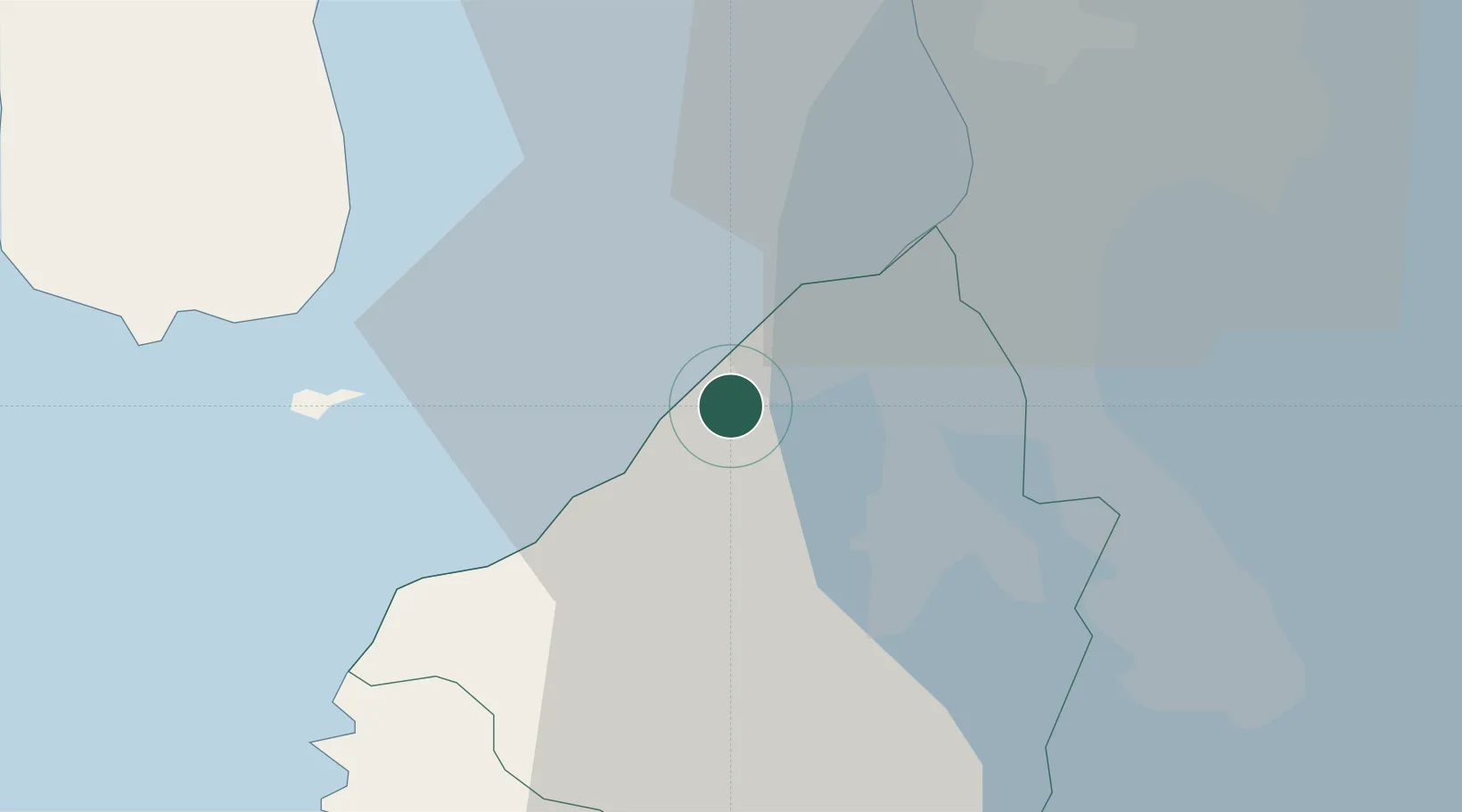
Nearby Logistics Neighbours

Cities
  1. 1Parañaque22 km
  2. 2Bangkal25 km
  3. 3Manila North Harbour25 km
  4. 4Lucanin25 km
  5. 5Manila26 km
Nearest neighbours — logibook spatial index (haversine) over the source coordinates
Ports
  1. 1Manila26 km
  2. 2Mariveles38 km
  3. 3Nasugbu41 km
  4. 4Batangas City74 km
  5. 5Subic Bay77 km
Nearest neighbours — logibook spatial index (haversine) over the source coordinates
Airports
  1. 1Danilo Atienza Air Base15 km
  2. 2Ninoy Aquino International Airport24 km
  3. 3Subic Bay International Airport / Naval Air Station Cubi Point76 km
  4. 4Clark International Airport / Clark Air Base94 km
  5. 5Lubang Airport98 km
Nearest neighbours — logibook spatial index (haversine) over the source coordinates
Trade Zones
  1. 1Suntrust Ecotown Tanza3 km
  2. 2SM City Rosario I.T. Center4 km
  3. 3Filoil Special Economic Zone II4 km
  4. 4Cavite Economic Zone5 km
  5. 5EDAMPI Technopark5 km
Nearest neighbours — logibook spatial index (haversine) over the source coordinates
DatabookThe Record of Consolidated Knowledge
Philippines beyond logistics?
Browse databook

All Sources

LocationsUN/LOCODE
UN/LOCODE — free
Portsthe NGA World Port Index
Public domain (US gov)
AirportsOurAirports
Public domain
Trade Zonesthe World Bank SEZ database
CC BY 4.0
Trade ZonesOpen Zone Map
CC BY
← Philippines locations