Medium airport · Philippines

Danilo Atienza Air BaseRPLS
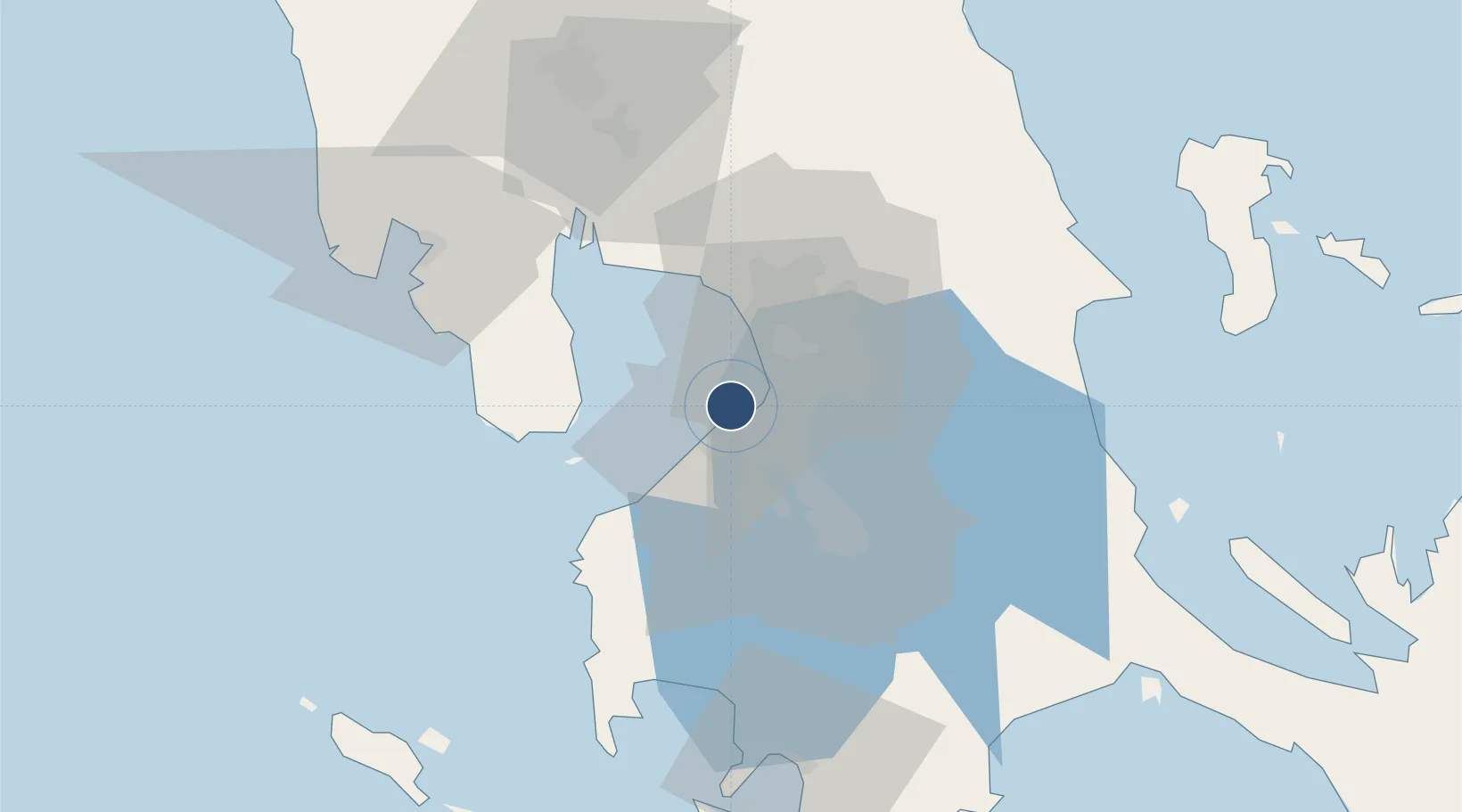
14.4954°, 120.9040°
7,769 ft
Longest runway
1
Runways
8 ft
Elevation

Runway & Layout

Danilo Atienza Air Base runway & taxiway layout
Runway & taxiway layout — OpenStreetMap (ODbL) / OurAirports

Radio Frequencies

TWR
126.2 MHz
OurAirports

Runways · 1

RunwayDimensions SurfaceTrue headingLit
07/25 7,769 × 150ft Asphalt 068°
OurAirports

Airport Specifications

IATA code
SGL
OurAirports
ICAO code
RPLS
OurAirports
Airport class
Medium airport
OurAirports
Scheduled service
No
OurAirports
Runway surface
Asphalt
OurAirports
Served city
Cavite
OurAirports

Location

Location of RPLS
Natural Earth 10m (public domain) · RPLS · 14.50, 120.90GoogleOSMYandex

Nearby Logistics Neighbours

Airports
  1. 1Ninoy Aquino International Airport13 km
  2. 2Subic Bay International Airport / Naval Air Station Cubi Point76 km
  3. 3Clark International Airport / Clark Air Base85 km
  4. 4Lubang Airport112 km
  5. 5Mamburao Airport147 km
Nearest neighbours — logibook spatial index (haversine) over the source coordinates
Cities
  1. 1Parañaque9 km
  2. 2Manila North Harbour11 km
  3. 3Bangkal11 km
  4. 4Manila12 km
  5. 5Makati City13 km
Nearest neighbours — logibook spatial index (haversine) over the source coordinates
Ports
  1. 1Manila12 km
  2. 2Mariveles46 km
  3. 3Nasugbu55 km
  4. 4Subic Bay77 km
  5. 5Batangas City84 km
Nearest neighbours — logibook spatial index (haversine) over the source coordinates
Trade Zones
  1. 1Gimco Sangley Point SEZ1 km
  2. 2Cavite City International IT Park2 km
  3. 3Marcelo IPG Industrial & Aqua Farming Park4 km
  4. 4Island Cove Tourism Economic Zone4 km
  5. 5Kawit Development Project Special Eco-Tourism Zone5 km
Nearest neighbours — logibook spatial index (haversine) over the source coordinates
DatabookThe Record of Consolidated Knowledge
Philippines beyond logistics?
Browse databook

All Sources

AirportsOurAirports
Public domain
Portsthe NGA World Port Index
Public domain (US gov)
LocationsUN/LOCODE
UN/LOCODE — free
Trade Zonesthe World Bank SEZ database
CC BY 4.0
Trade ZonesOpen Zone Map
CC BY
InfrastructureOpenStreetMap
ODbL 1.0
← Philippines airports