UN/LOCODE hub · Philippines
PHSFS
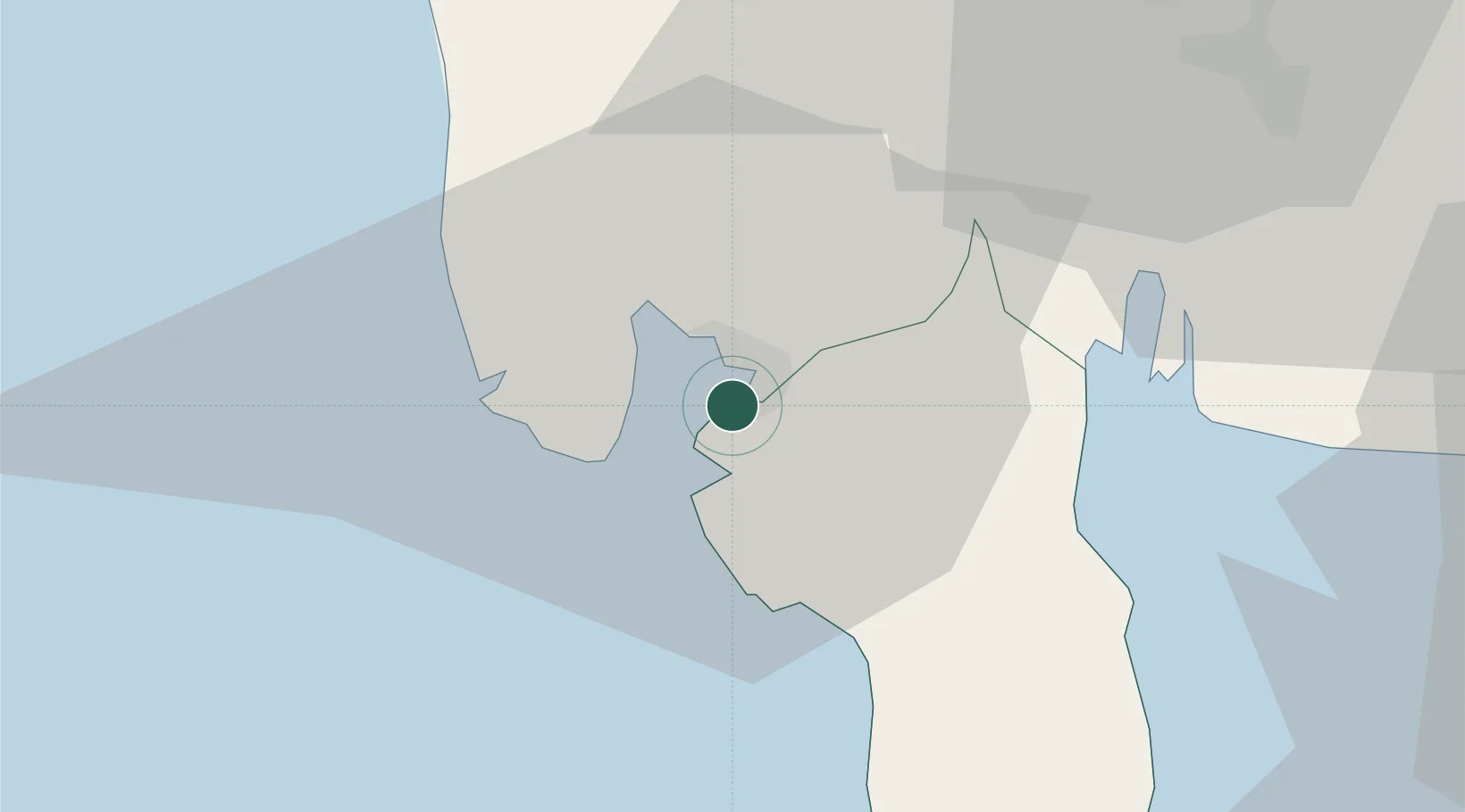
Subic Bay
14.7992°, 120.2740°
2
Transport functions
1
Container terminals
Transport Functions
Port
Airport
Hub Profile
Logistics facilities
2
Container terminals
1
Location
Nearby Logistics Neighbours
Cities
- 1Olongapo3 km
- 2Potrero44 km
- 3Lucanin52 km
- 4Clark Field (Angeles)53 km
- 5Corregidor Island57 km
Ports
- 1Mariveles47 km
- 2Manila78 km
- 3Nasugbu88 km
- 4Masinloc90 km
- 5Batangas City144 km
Airports
Trade Zones
DatabookThe Record of Consolidated Knowledge
Philippines beyond logistics?