Diversified Zone · Philippines

PNOC Petrochemical Industrial Estate II Active

14.4983°, 120.6035°
143 ha
Zone area
14.8 km
Nearest port
32.4 km
Nearest airport

Gateway access

Nearest neighbours — logibook spatial index (haversine) over the source coordinates

Zone profile

Zone type
Diversified Zone
Open Zone Map
Status
Active
Open Zone Map
Management
Public-Private Partnership
Open Zone Map
Operator
PNOC Petrochemical Development Corp.
Open Zone Map
Legal framework
Special Economic Zone Act (Republic Act No. 7916) (as amended by Republic Act No. 8748)
Open Zone Map

Location

Location of ozm-3196
Natural Earth 10m (public domain) · ozm-3196 · 14.50, 120.60GoogleOSMYandex

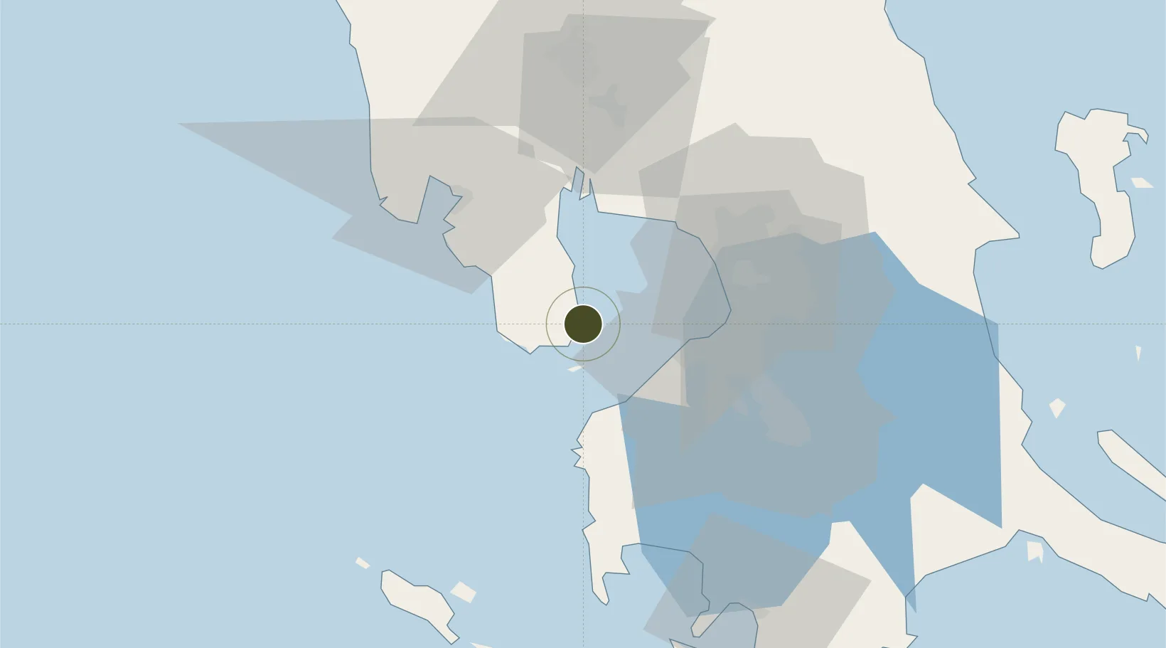
Nearby Logistics Neighbours

Ports
  1. 1Mariveles15 km
  2. 2Manila40 km
  3. 3Nasugbu46 km
  4. 4Subic Bay49 km
  5. 5Batangas City96 km
Nearest neighbours — logibook spatial index (haversine) over the source coordinates
Airports
  1. 1Danilo Atienza Air Base32 km
  2. 2Ninoy Aquino International Airport45 km
  3. 3Subic Bay International Airport / Naval Air Station Cubi Point49 km
  4. 4Clark International Airport / Clark Air Base77 km
  5. 5Lubang Airport89 km
Nearest neighbours — logibook spatial index (haversine) over the source coordinates
Cities
  1. 1Lucanin4 km
  2. 2Corregidor Island13 km
  3. 3Cavite, Luzon28 km
  4. 4Manila North Harbour37 km
  5. 5Manila41 km
Nearest neighbours — logibook spatial index (haversine) over the source coordinates
Trade Zones
  1. 1Global Economic Zone3 km
  2. 2PNOC Petrochemical Industrial Estate8 km
  3. 3Freeport Area of Bataan13 km
  4. 4Cavite Eco-Industrial Estate17 km
  5. 5Mariveles Economic Zone19 km
Nearest neighbours — logibook spatial index (haversine) over the source coordinates
DatabookThe Record of Consolidated Knowledge
Philippines beyond logistics?
Browse databook

All Sources

Trade ZonesOpen Zone Map
CC BY
Portsthe NGA World Port Index
Public domain (US gov)
AirportsOurAirports
Public domain
LocationsUN/LOCODE
UN/LOCODE — free
← Philippines trade zones