UN/LOCODE hub · Philippines
PHCGI

Corregidor Island

14.3833°, 120.5833°
1
Transport functions

Transport Functions

Port
UN/LOCODE

Hub Profile

Region
BAN
GeoNames

Location

Location of PHCGI
Natural Earth 10m (public domain) · BAN · PHCGI · 14.38, 120.58GoogleOSMYandex

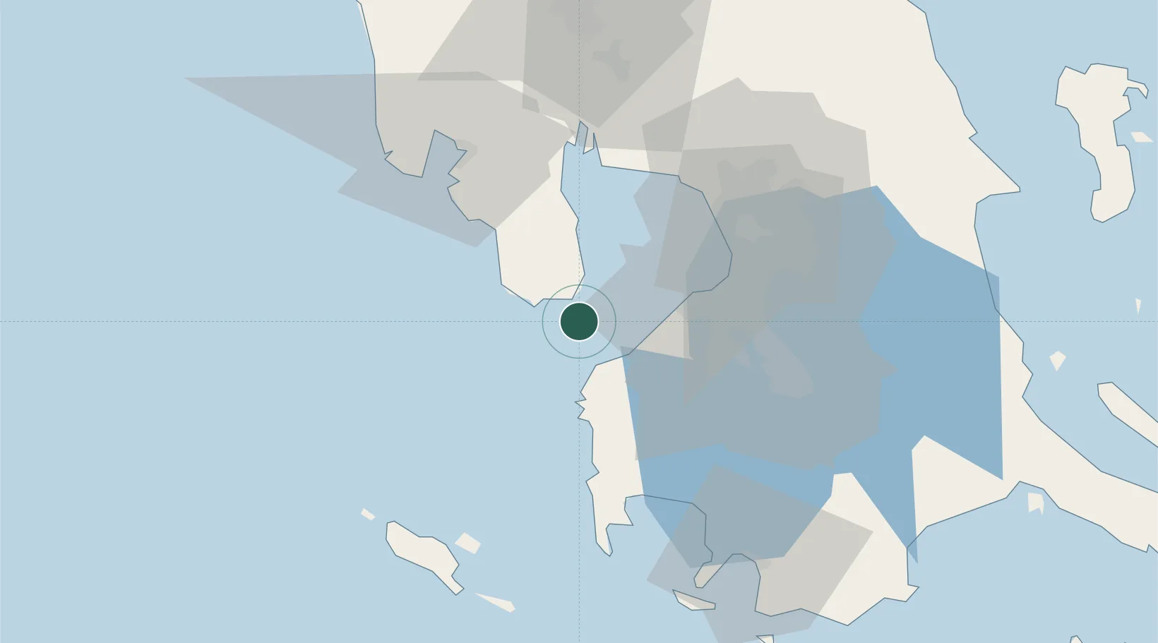
Nearby Logistics Neighbours

Cities
  1. 1Lucanin10 km
  2. 2Cavite, Luzon27 km
  3. 3Nasugbu, Luzon36 km
  4. 4Manila North Harbour44 km
  5. 5Parañaque46 km
Nearest neighbours — logibook spatial index (haversine) over the source coordinates
Ports
  1. 1Mariveles12 km
  2. 2Nasugbu34 km
  3. 3Manila47 km
  4. 4Subic Bay58 km
  5. 5Batangas City87 km
Nearest neighbours — logibook spatial index (haversine) over the source coordinates
Airports
  1. 1Danilo Atienza Air Base37 km
  2. 2Ninoy Aquino International Airport49 km
  3. 3Subic Bay International Airport / Naval Air Station Cubi Point57 km
  4. 4Lubang Airport78 km
  5. 5Clark International Airport / Clark Air Base89 km
Nearest neighbours — logibook spatial index (haversine) over the source coordinates
Trade Zones
  1. 1Freeport Area of Bataan11 km
  2. 2PNOC Petrochemical Industrial Estate II13 km
  3. 3Global Economic Zone15 km
  4. 4Cavite Eco-Industrial Estate17 km
  5. 5Mariveles Economic Zone18 km
Nearest neighbours — logibook spatial index (haversine) over the source coordinates
DatabookThe Record of Consolidated Knowledge
Philippines beyond logistics?
Browse databook

All Sources

LocationsUN/LOCODE
UN/LOCODE — free
Portsthe NGA World Port Index
Public domain (US gov)
AirportsOurAirports
Public domain
Trade Zonesthe World Bank SEZ database
CC BY 4.0
Trade ZonesOpen Zone Map
CC BY
← Philippines locations