Seaport · Philippines
Batangas CityPHBTG
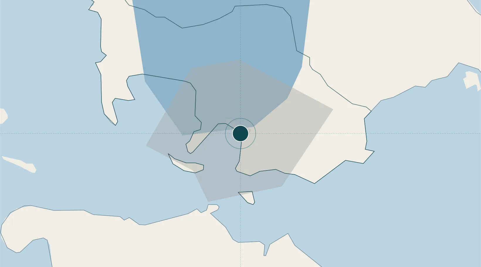
13.7500°, 121.0500°
23.2 m
Channel depth
1
Container terminals
117.4
Port liner connectivity
Channel & Berth Profile
Pilotage, Tugs & Services
Pilotage compulsoryYES
Pilotage availableYES
Pilotage advisableYES
Tug assistanceYES
Potable waterYES
MedicalYES
Garbage disposalYES
Facilities & Capabilities
Container—
Ro-Ro—
Liquid bulk—
Dry bulk—
Oil terminal—
Break bulk—
Dry dockNO
RepairsNO
BunkeringYES
Rail linkYES
Dangerous cargo—
ISPS security—
Harbour Specifications
Harbour size
Medium
Harbour type
Open Roadstead
Shelter
Good
Water body
Philippine inland seas; North Pacific Ocean
Tidal range
1 m
Pilotage
Yes
Liner Connectivity
117.4
PLSCI
Port Liner Shipping Connectivity Index for Batangas City, as published by UNCTAD for the latest available quarter. Higher values indicate stronger scheduled liner-shipping integration.
Shown relative to the highest per-port PLSCI in the dataset (1,657.9).
Location
Container Terminals · 1
BATANGAS CONTAINER TERMINAL
BCT ASIAN TERMINALS INC.
Nearby Logistics Neighbours
Cities
- 1Bauan/Batangas8 km
- 2Puerto Galera31 km
- 3Tanauan37 km
- 4Candelaria44 km
- 5Canlubang52 km
Airports
- 1Mamburao Airport77 km
- 2Danilo Atienza Air Base84 km
- 3Ninoy Aquino International Airport84 km
- 4Marinduque Airport94 km
- 5Lubang Airport103 km
DatabookThe Record of Consolidated Knowledge
Philippines beyond logistics?