UN/LOCODE hub · Philippines
PHOLO
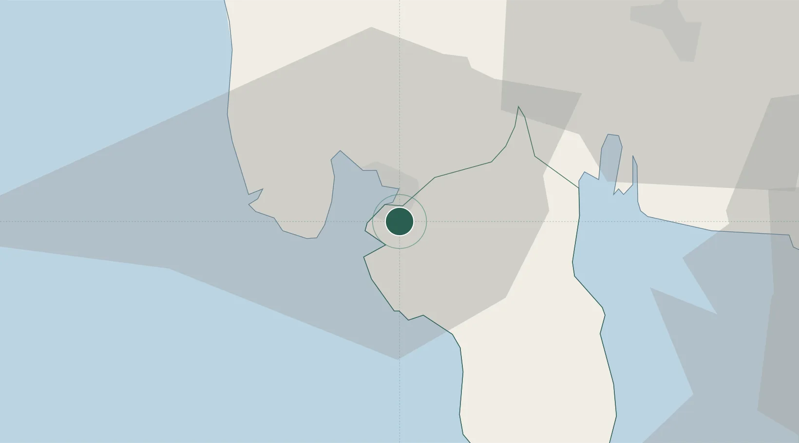
Olongapo
14.7800°, 120.2926°
221,178
Population
1
Transport functions
Transport Functions
Port
Hub Profile
Place type
District seat
Region
Central Luzon
Population
221,178
Time zone
Asia/Manila
Elevation
11 m
Logistics facilities
1
Location
Nearby Logistics Neighbours
Cities
- 1Subic Bay3 km
- 2Potrero43 km
- 3Lucanin49 km
- 4Clark Field (Angeles)53 km
- 5Corregidor Island54 km
Airports
Trade Zones
DatabookThe Record of Consolidated Knowledge
Philippines beyond logistics?