Large airport · Philippines

Subic Bay International Airport / Naval Air Station Cubi PointRPLB
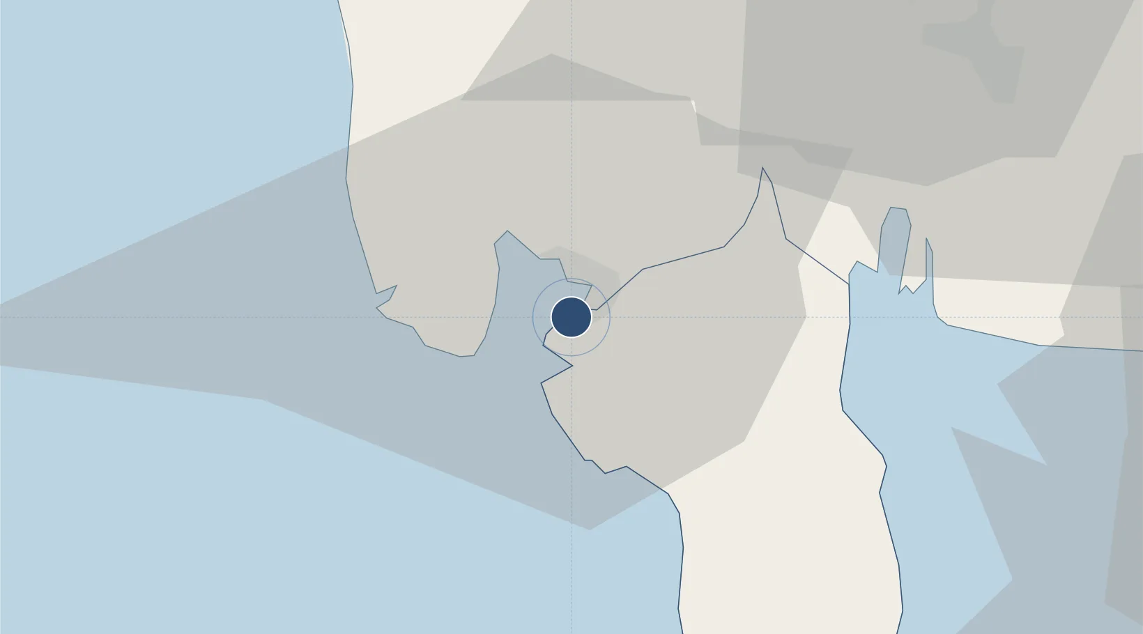
14.7948°, 120.2719°
9,003 ft
Longest runway
1
Runways
64 ft
Elevation

Runway & Layout

Subic Bay International Airport / Naval Air Station Cubi Point runway & taxiway layout
Runway & taxiway layout — OpenStreetMap (ODbL) / OurAirports

Radio Frequencies

ATIS
134.4 MHz
TWR
118.2 MHz
CLD
121.3 MHz
CLNC DEL
APP
119.1 MHz
FSS
544.75 MHz
RDO
GCA
121.8 MHz
GND
OurAirports

Navaids

SBA VOR-DME Subic Bay 113.50 MHz
SFS NDB Subic Bay 366 kHz
OurAirports

Runways · 1

RunwayDimensions SurfaceTrue headingLit
07/25 9,003 × 148ft Asphalt 067°
OurAirports

Airport Specifications

IATA code
SFS
OurAirports
ICAO code
RPLB
OurAirports
Airport class
Large airport
OurAirports
Scheduled service
Yes
OurAirports
Runway surface
Asphalt
OurAirports
Served city
Olongapo
OurAirports

Location

Location of RPLB
Natural Earth 10m (public domain) · Bataan · RPLB · 14.79, 120.27GoogleOSMYandex

Nearby Logistics Neighbours

Airports
  1. 1Clark International Airport / Clark Air Base53 km
  2. 2Danilo Atienza Air Base76 km
  3. 3Ninoy Aquino International Airport87 km
  4. 4Lubang Airport106 km
  5. 5Dr. Juan C. Angara Airport168 km
Nearest neighbours — logibook spatial index (haversine) over the source coordinates
Cities
  1. 1Subic Bay1 km
  2. 2Olongapo3 km
  3. 3Potrero44 km
  4. 4Lucanin52 km
  5. 5Clark Field (Angeles)53 km
Nearest neighbours — logibook spatial index (haversine) over the source coordinates
Ports
  1. 1Subic Bay1 km
  2. 2Mariveles46 km
  3. 3Manila78 km
  4. 4Nasugbu87 km
  5. 5Masinloc91 km
Nearest neighbours — logibook spatial index (haversine) over the source coordinates
Trade Zones
  1. 1Subic Shipyard Special Economic Zone6 km
  2. 2Subic Shipyard Special Economic Zone11 km
  3. 3Hermosa Ecozone Industrial Park21 km
  4. 41Bataan BPO Center23 km
  5. 5ACE BPO29 km
Nearest neighbours — logibook spatial index (haversine) over the source coordinates
DatabookThe Record of Consolidated Knowledge
Philippines beyond logistics?
Browse databook

All Sources

AirportsOurAirports
Public domain
Portsthe NGA World Port Index
Public domain (US gov)
LocationsUN/LOCODE
UN/LOCODE — free
Trade Zonesthe World Bank SEZ database
CC BY 4.0
Trade ZonesOpen Zone Map
CC BY
InfrastructureOpenStreetMap
ODbL 1.0
← Philippines airports