Specialized Zone · Philippines

Starmall Bataan (BPO) Active
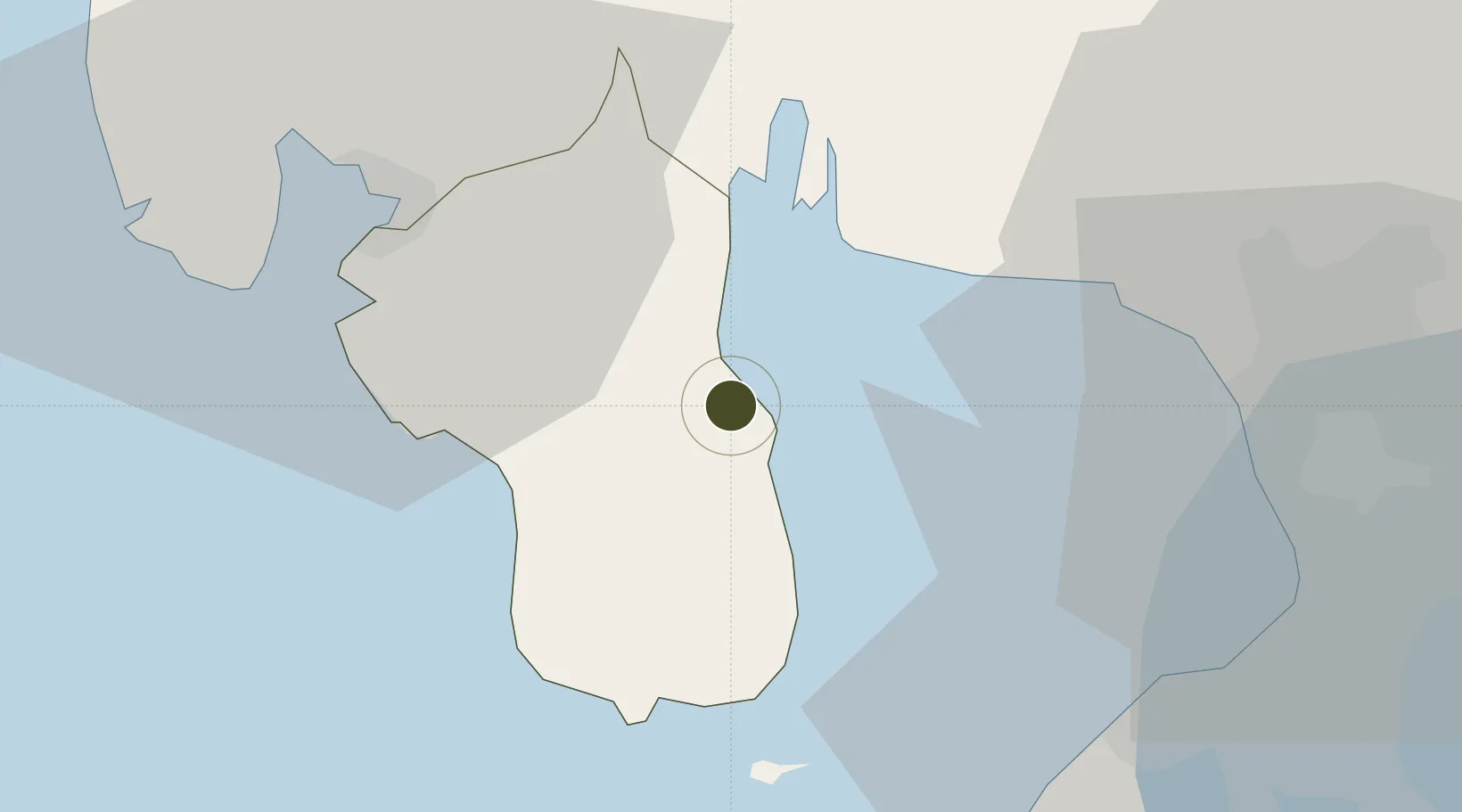
14.6667°, 120.5465°
14 ha
Zone area
26.8 km
Nearest port
32.8 km
Nearest airport

Gateway access

Nearest neighbours — logibook spatial index (haversine) over the source coordinates

Zone profile

Zone type
Specialized Zone
Open Zone Map
Specialization
IT
Open Zone Map
Region
Bataan
Open Zone Map
Status
Active
Open Zone Map
Management
Private
Open Zone Map
Operator
Masterpiece Asia Properties, Inc.
Open Zone Map
Legal framework
Special Economic Zone Act (Republic Act No. 7916) (as amended by Republic Act No. 8748)
Open Zone Map

Location

Location of ozm-3846
Natural Earth 10m (public domain) · Bataan · ozm-3846 · 14.67, 120.55GoogleOSMYandex

Nearby Logistics Neighbours

Ports
  1. 1Mariveles27 km
  2. 2Subic Bay34 km
  3. 3Manila46 km
  4. 4Nasugbu65 km
  5. 5Batangas City116 km
Nearest neighbours — logibook spatial index (haversine) over the source coordinates
Airports
  1. 1Subic Bay International Airport / Naval Air Station Cubi Point33 km
  2. 2Danilo Atienza Air Base43 km
  3. 3Ninoy Aquino International Airport54 km
  4. 4Clark International Airport / Clark Air Base58 km
  5. 5Lubang Airport102 km
Nearest neighbours — logibook spatial index (haversine) over the source coordinates
Cities
  1. 1Lucanin24 km
  2. 2Olongapo30 km
  3. 3Corregidor Island32 km
  4. 4Subic Bay33 km
  5. 5Bulacan38 km
Nearest neighbours — logibook spatial index (haversine) over the source coordinates
Trade Zones
  1. 1ACE BPO7 km
  2. 2PNOC Petrochemical Industrial Estate16 km
  3. 31Bataan BPO Center16 km
  4. 4Global Economic Zone17 km
  5. 5PNOC Petrochemical Industrial Estate II20 km
Nearest neighbours — logibook spatial index (haversine) over the source coordinates
DatabookThe Record of Consolidated Knowledge
Philippines beyond logistics?
Browse databook

All Sources

Trade ZonesOpen Zone Map
CC BY
Portsthe NGA World Port Index
Public domain (US gov)
AirportsOurAirports
Public domain
LocationsUN/LOCODE
UN/LOCODE — free
← Philippines trade zones