UN/LOCODE hub · Philippines
PHLUC

Lucanin

14.4667°, 120.6167°
1
Transport functions

Transport Functions

Port
UN/LOCODE

Location

Location of PHLUC
Natural Earth 10m (public domain) · Cavite · PHLUC · 14.47, 120.62GoogleOSMYandex

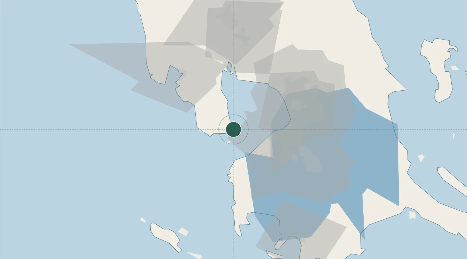
Nearby Logistics Neighbours

Cities
  1. 1Corregidor Island10 km
  2. 2Cavite, Luzon25 km
  3. 3Manila North Harbour37 km
  4. 4Parañaque40 km
  5. 5Manila40 km
Nearest neighbours — logibook spatial index (haversine) over the source coordinates
Ports
  1. 1Mariveles15 km
  2. 2Manila40 km
  3. 3Nasugbu43 km
  4. 4Subic Bay53 km
  5. 5Batangas City92 km
Nearest neighbours — logibook spatial index (haversine) over the source coordinates
Airports
  1. 1Danilo Atienza Air Base31 km
  2. 2Ninoy Aquino International Airport44 km
  3. 3Subic Bay International Airport / Naval Air Station Cubi Point52 km
  4. 4Clark International Airport / Clark Air Base80 km
  5. 5Lubang Airport88 km
Nearest neighbours — logibook spatial index (haversine) over the source coordinates
Trade Zones
  1. 1PNOC Petrochemical Industrial Estate II4 km
  2. 2Global Economic Zone7 km
  3. 3PNOC Petrochemical Industrial Estate11 km
  4. 4Freeport Area of Bataan13 km
  5. 5Cavite Eco-Industrial Estate14 km
Nearest neighbours — logibook spatial index (haversine) over the source coordinates
DatabookThe Record of Consolidated Knowledge
Philippines beyond logistics?
Browse databook

All Sources

LocationsUN/LOCODE
UN/LOCODE — free
Portsthe NGA World Port Index
Public domain (US gov)
AirportsOurAirports
Public domain
Trade Zonesthe World Bank SEZ database
CC BY 4.0
Trade ZonesOpen Zone Map
CC BY
← Philippines locations