Free Trade Zone · Philippines

Freeport Area of Bataan Active
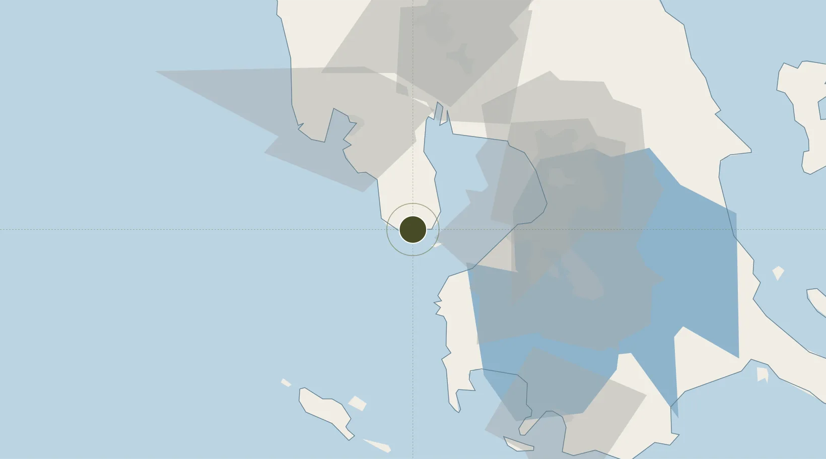
14.4399°, 120.4967°
1,733 ha
Zone area
1.6 km
Nearest port
44.3 km
Nearest airport

Gateway access

Nearest neighbours — logibook spatial index (haversine) over the source coordinates

Zone profile

Zone type
Free Trade Zone
Open Zone Map
Region
Bataan
Open Zone Map
Status
Active
Open Zone Map
Management
Public
Open Zone Map
Operator
Authority of the Freeport Area of Bataan
Open Zone Map
Legal framework
Special Economic Zone Act (Republic Act No. 7916) (as amended by Republic Act No. 8748)
Open Zone Map

Location

Location of ozm-3326
Natural Earth 10m (public domain) · Bataan · ozm-3326 · 14.44, 120.50GoogleOSMYandex

Nearby Logistics Neighbours

Ports
  1. 1Mariveles2 km
  2. 2Nasugbu42 km
  3. 3Subic Bay47 km
  4. 4Manila53 km
  5. 5Batangas City97 km
Nearest neighbours — logibook spatial index (haversine) over the source coordinates
Airports
  1. 1Danilo Atienza Air Base44 km
  2. 2Subic Bay International Airport / Naval Air Station Cubi Point46 km
  3. 3Ninoy Aquino International Airport57 km
  4. 4Lubang Airport78 km
  5. 5Clark International Airport / Clark Air Base83 km
Nearest neighbours — logibook spatial index (haversine) over the source coordinates
Cities
  1. 1Corregidor Island11 km
  2. 2Lucanin13 km
  3. 3Cavite, Luzon37 km
  4. 4Olongapo44 km
  5. 5Nasugbu, Luzon44 km
Nearest neighbours — logibook spatial index (haversine) over the source coordinates
Trade Zones
  1. 1Mariveles Economic Zone7 km
  2. 2Global Economic Zone13 km
  3. 3PNOC Petrochemical Industrial Estate II13 km
  4. 4PNOC Petrochemical Industrial Estate21 km
  5. 5Cavite Eco-Industrial Estate26 km
Nearest neighbours — logibook spatial index (haversine) over the source coordinates
DatabookThe Record of Consolidated Knowledge
Philippines beyond logistics?
Browse databook

All Sources

Trade ZonesOpen Zone Map
CC BY
Portsthe NGA World Port Index
Public domain (US gov)
AirportsOurAirports
Public domain
LocationsUN/LOCODE
UN/LOCODE — free
← Philippines trade zones