Transport Functions
Port
Border Crossing
Hub Profile
Place type
District seat
Region
Heilongjiang
Time zone
Asia/Shanghai
Elevation
238 m
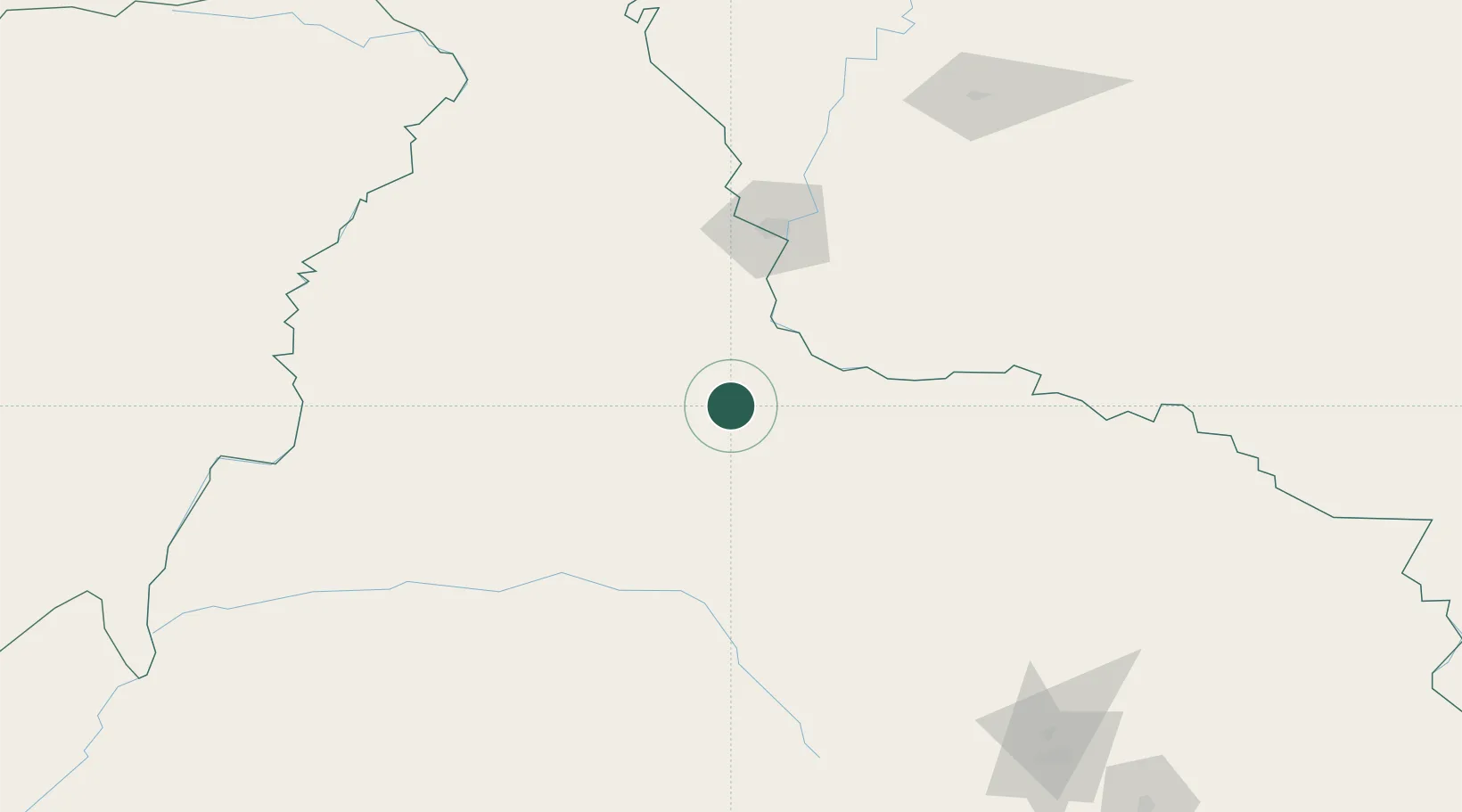
Location
Nearby Logistics Neighbours
Ports
- 1Vladivostok784 km
- 2Slavyanka793 km
- 3Pos'yet799 km
- 4Zarubino808 km
- 5Najin831 km
Airports
- 1Heihe Aihui Airport84 km
- 2Ignatyevo Airport112 km
- 3Wudalianchi Dedu Airport139 km
- 4Yichun Lindu Airport224 km
- 5Daxing'anling Elunchun Airport253 km
DatabookThe Record of Consolidated Knowledge
China beyond logistics?