Specialized Zone · Philippines

DBPI IT Park Under Development
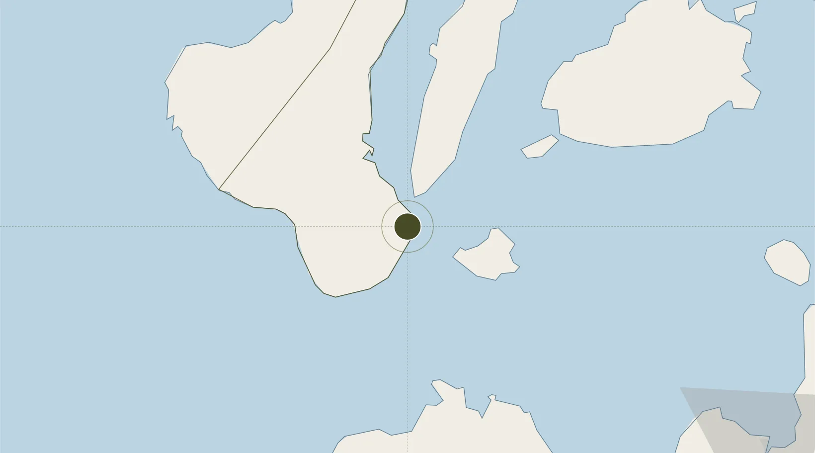
9.2988°, 123.3025°
15 ha
Zone area
2.0 km
Nearest port
3.9 km
Nearest airport

Gateway access

Nearest neighbours — logibook spatial index (haversine) over the source coordinates

Zone profile

Zone type
Specialized Zone
Open Zone Map
Specialization
IT
Open Zone Map
Region
Negros Oriental
Open Zone Map
Status
Under Development
Open Zone Map
Management
Private
Open Zone Map
Operator
Dumaguete Business Park, Inc.
Open Zone Map
Legal framework
Special Economic Zone Act (Republic Act No. 7916) (as amended by Republic Act No. 8748)
Open Zone Map

Location

Location of ozm-3850
Natural Earth 10m (public domain) · Negros Oriental · ozm-3850 · 9.30, 123.30GoogleOSMYandex

Nearby Logistics Neighbours

Ports
  1. 1Dumaguete2 km
  2. 2Bais39 km
  3. 3Lazi41 km
  4. 4Tagbilaran72 km
  5. 5Tubigan103 km
Nearest neighbours — logibook spatial index (haversine) over the source coordinates
Airports
  1. 1Sibulan Airport4 km
  2. 2Bohol-Panglao International Airport60 km
  3. 3Dipolog Airport78 km
  4. 4Mactan Cebu International Airport135 km
  5. 5Labo Airport138 km
Nearest neighbours — logibook spatial index (haversine) over the source coordinates
Cities
  1. 1Bacong7 km
  2. 2Tandayag19 km
  3. 3Larena31 km
  4. 4Malatapay33 km
  5. 5Lazi42 km
Nearest neighbours — logibook spatial index (haversine) over the source coordinates
Trade Zones
  1. 1YY Star DAS Information Technology Center1 km
  2. 2Spanish Heritage IT Center1 km
  3. 3LP IT Park1 km
  4. 4Marina Town Dumaguete3 km
  5. 5LinkSy IT Park3 km
Nearest neighbours — logibook spatial index (haversine) over the source coordinates
DatabookThe Record of Consolidated Knowledge
Philippines beyond logistics?
Browse databook

All Sources

Trade ZonesOpen Zone Map
CC BY
Portsthe NGA World Port Index
Public domain (US gov)
AirportsOurAirports
Public domain
LocationsUN/LOCODE
UN/LOCODE — free
← Philippines trade zones