Medium airport · Ecuador

Santa Rosa - Artillery Colonel Victor Larrea International AirportSERO
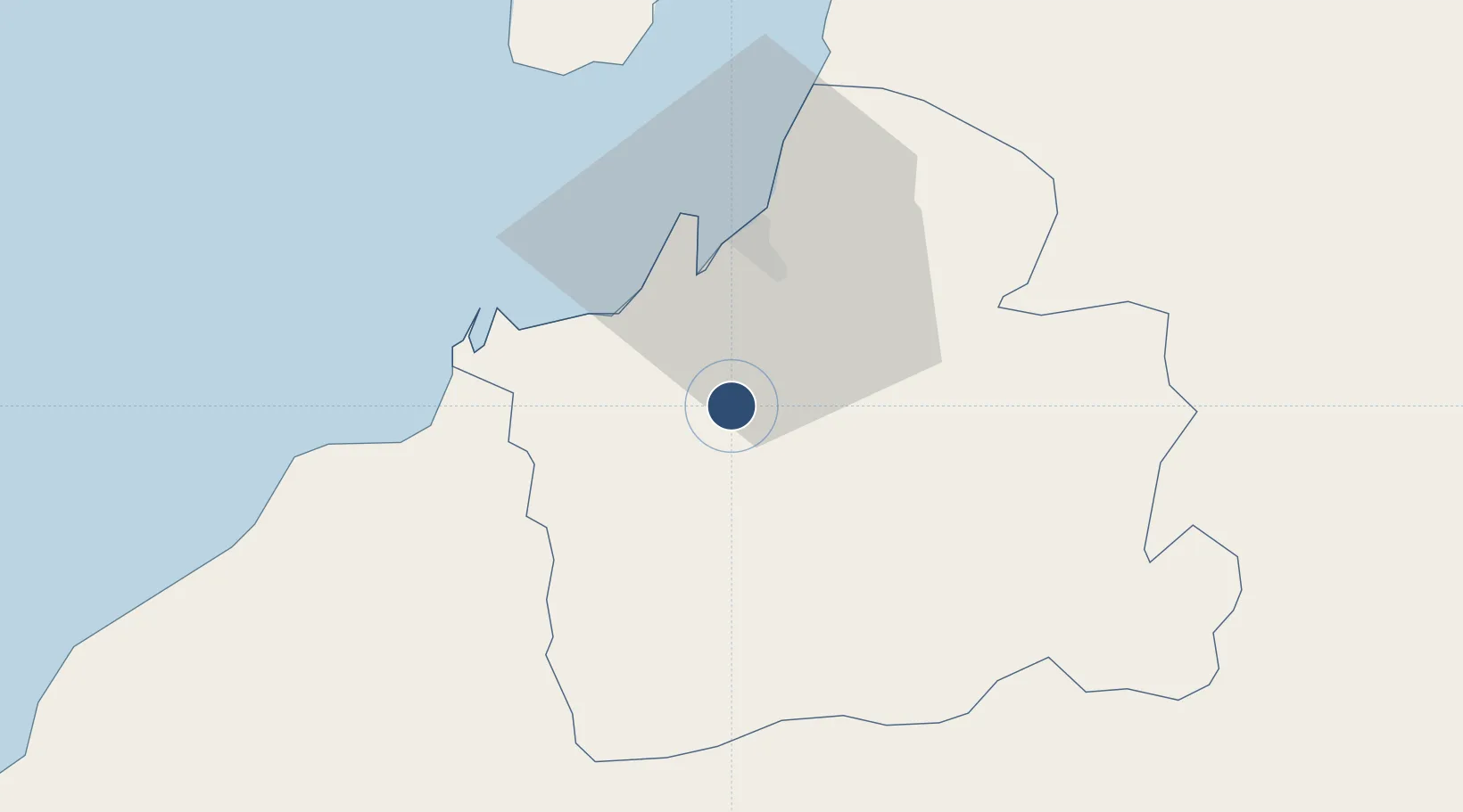
-3.4420°, -79.9970°
8,625 ft
Longest runway
1
Runways
20 ft
Elevation

Runway & Layout

Santa Rosa - Artillery Colonel Victor Larrea International Airport runway & taxiway layout
Runway & taxiway layout — OpenStreetMap (ODbL) / OurAirports

Runways · 1

RunwayDimensions SurfaceTrue headingLit
07/25 8,625 × 148ft Asphalt 068°
OurAirports

Airport Specifications

IATA code
ETR
OurAirports
ICAO code
SERO
OurAirports
Airport class
Medium airport
OurAirports
Scheduled service
Yes
OurAirports
Runway surface
Asphalt
OurAirports
Served city
Santa Rosa
OurAirports

Location

Location of SERO
Natural Earth 10m (public domain) · El Oro · SERO · -3.44, -80.00GoogleOSMYandex

Nearby Logistics Neighbours

Airports
  1. 1Captain Pedro Canga Rodríguez International Airport44 km
  2. 2Ciudad de Catamayo Airport93 km
  3. 3Jose Maria Velasco Ibarra Airport104 km
  4. 4Mariscal Lamar Airport128 km
  5. 5José Joaquín de Olmedo International Airport143 km
Nearest neighbours — logibook spatial index (haversine) over the source coordinates
Cities
  1. 1Puerto Bolívar21 km
  2. 2Puerto Balao Grande63 km
  3. 3Puná79 km
  4. 4Posorja88 km
  5. 5Bucay92 km
Nearest neighbours — logibook spatial index (haversine) over the source coordinates
Ports
  1. 1Puerto Bolivar20 km
  2. 2Puerto Maritimo De Guayaquil129 km
  3. 3Guayaquil139 km
  4. 4Puerto Cabo Blanco164 km
  5. 5La Libertad170 km
Nearest neighbours — logibook spatial index (haversine) over the source coordinates
Trade Zones
  1. 1Zona Franca del Oro19 km
  2. 2Posorja ZofraPort SA Free Zone87 km
  3. 3DP World Posorja88 km
  4. 4Contecon Guayaquil Free Zone130 km
  5. 5Zona Franca Esmeraldas143 km
Nearest neighbours — logibook spatial index (haversine) over the source coordinates
DatabookThe Record of Consolidated Knowledge
Ecuador beyond logistics?
Browse databook

All Sources

AirportsOurAirports
Public domain
Portsthe NGA World Port Index
Public domain (US gov)
LocationsUN/LOCODE
UN/LOCODE — free
Trade Zonesthe World Bank SEZ database
CC BY 4.0
Trade ZonesOpen Zone Map
CC BY
InfrastructureOpenStreetMap
ODbL 1.0
← Ecuador airports