Medium airport · Chad
Moundou AirportFTTD
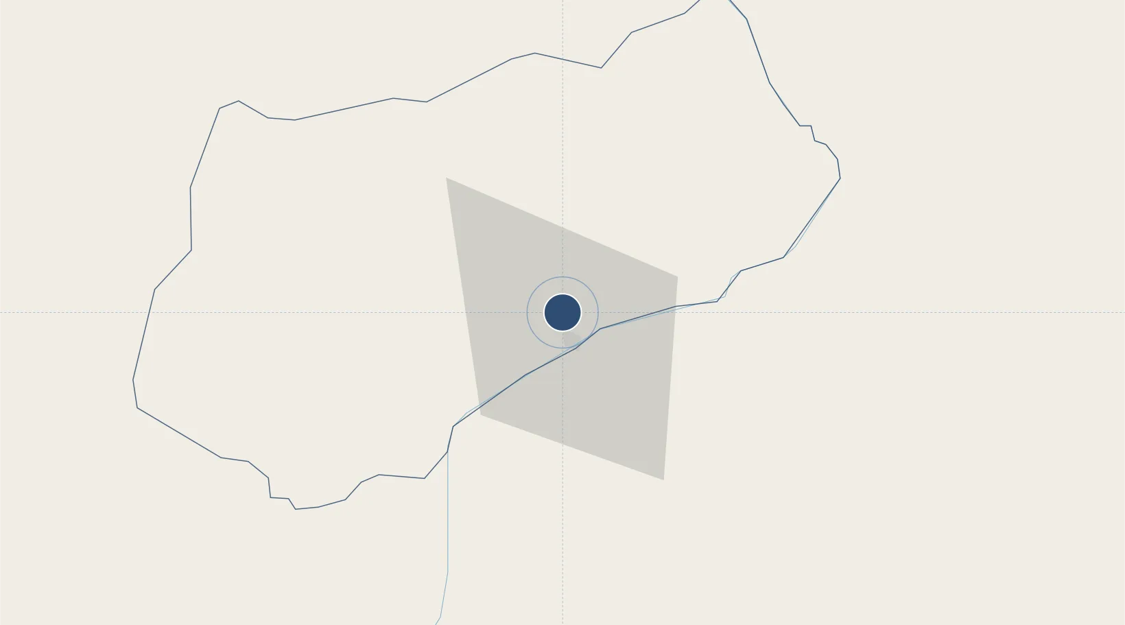
8.6285°, 16.0742°
5,906 ft
Longest runway
1
Runways
1,407 ft
Elevation
Runway & Layout

Radio Frequencies
TWR
118.6 MHz
Navaids
MN NDB Moundou 315 kHz
TD VOR Moundou 114.70 MHz
Runways · 1
| Runway | Dimensions | Surface | True heading | Lit |
|---|---|---|---|---|
| 04/22 | 5,906 × 115ft | Asphalt | 035° | — |
Airport Specifications
IATA code
MQQ
ICAO code
FTTD
Airport class
Medium airport
Scheduled service
No
Runway surface
Asphalt
Served city
Moundou
Location
Nearby Logistics Neighbours
Airports
- 1Salak Airport284 km
- 2Garoua International Airport307 km
- 3N'Gaoundéré Airport311 km
- 4N'Djamena International Airport406 km
- 5Yola Airport406 km
Cities
- 1Komé72 km
- 2Garoua303 km
- 3Ngaoundéré310 km
- 4Chagoua399 km
- 5Borno402 km
Ports
- 1Douala871 km
- 2Limboh Terminal923 km
- 3Kome Kribi 1 Marine Terminal941 km
- 4Ebome Marine Terminal948 km
- 5Calabar948 km
Trade Zones
DatabookThe Record of Consolidated Knowledge
Chad beyond logistics?