Medium airport · Mali
Gao International AirportGAGO
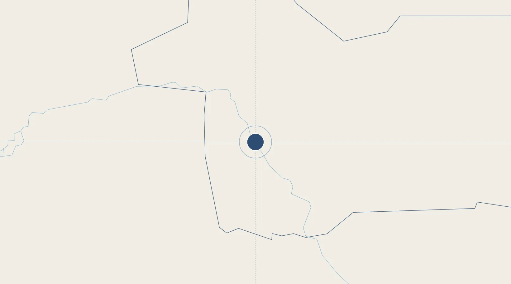
16.2485°, -0.0054°
8,202 ft
Longest runway
1
Runways
870 ft
Elevation
Runway & Layout

Radio Frequencies
TWR
118.5 MHz
A/G
889.4 MHz
RDO
Navaids
GAO VOR Gao 112.30 MHz
TZI NDB Gao 364 kHz
Runways · 1
| Runway | Dimensions | Surface | True heading | Lit |
|---|---|---|---|---|
| 07/25 | 8,202 × 148ft | Asphalt | 062° | ✓ |
Airport Specifications
IATA code
GAQ
ICAO code
GAGO
Airport class
Medium airport
Scheduled service
Yes
Runway surface
Asphalt
Served city
Gao
Location
Nearby Logistics Neighbours
Airports
- 1Tombouktou Airport325 km
- 2Diori Hamani International Airport387 km
- 3Ouagadougou Thomas Sankara International Airport463 km
- 4Mopti Airport478 km
- 5Bordj Badji Mokhtar Airport579 km
Cities
- 1Ziniaré431 km
- 2Koudougou514 km
- 3Gaya611 km
- 4Bolgatanga615 km
- 5Kebbi687 km
Ports
- 1Kpeme1130 km
- 2Cotonou1132 km
- 3Lome1134 km
- 4Lagos1156 km
- 5Tin Can Island1160 km
Trade Zones
- 1Gao Industrial Zone2 km
- 2Timbuktu Industrial Zone323 km
- 3Plateau de Bougoum Industrial Zone379 km
- 4Kossodo Industrial Zone454 km
- 5Goughin Industrial Zone462 km
DatabookThe Record of Consolidated Knowledge
Mali beyond logistics?