Transport Functions
Multimodal
Hub Profile
Place type
Regional capital
Region
Upper East
Population
81,958
Time zone
Africa/Accra
Elevation
191 m
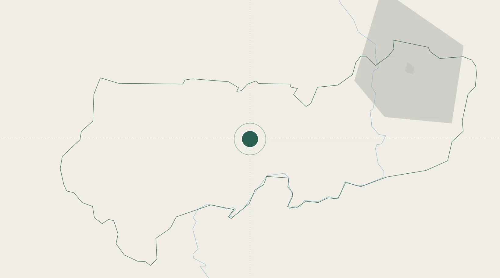
Location
Nearby Logistics Neighbours
Cities
- 1Gumani149 km
- 2Ziniaré206 km
- 3Koudougou231 km
- 4Bérégadougou426 km
- 5Glazoué466 km
Airports
Trade Zones
- 1Tamale Industrial Park156 km
- 2Diverse Activities Zone of Ouagadougou187 km
- 3Goughin Industrial Zone192 km
- 4Kossodo Industrial Zone195 km
- 5Plateau de Bougoum Industrial Zone438 km
DatabookThe Record of Consolidated Knowledge
Ghana beyond logistics?