Export Processing Zone · Burkina Faso

Diverse Activities Zone of Ouagadougou Active
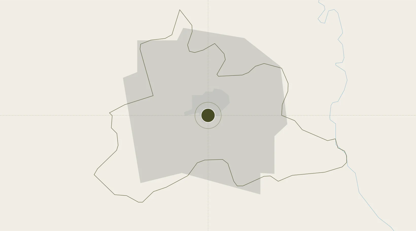
12.3349°, -1.5053°
85 ha
Zone area
754.4 km
Nearest port
2.2 km
Nearest airport

Gateway access

Nearest neighbours — logibook spatial index (haversine) over the source coordinates

Zone profile

Zone type
Export Processing Zone
Open Zone Map
Region
Kadiogo
Open Zone Map
Status
Active
Open Zone Map
Management
Public
Open Zone Map
Operator
Ministry of Industry
Open Zone Map
Legal framework
Decree No. 1-97/MCPEA/MEF/MEE
Open Zone Map

Location

Location of ozm-246
Natural Earth 10m (public domain) · Kadiogo · ozm-246 · 12.33, -1.51GoogleOSMYandex

Nearby Logistics Neighbours

Ports
  1. 1Lome754 km
  2. 2Kpeme758 km
  3. 3Tema764 km
  4. 4Cotonou793 km
  5. 5Saltpond795 km
Nearest neighbours — logibook spatial index (haversine) over the source coordinates
Airports
  1. 1Ouagadougou Thomas Sankara International Airport2 km
  2. 2Yakubu Tali International Airport317 km
  3. 3Bobo Dioulasso Airport334 km
  4. 4Mopti Airport369 km
  5. 5Niamtougou International Airport402 km
Nearest neighbours — logibook spatial index (haversine) over the source coordinates
Cities
  1. 1Ziniaré36 km
  2. 2Koudougou94 km
  3. 3Bolgatanga187 km
  4. 4Gumani331 km
  5. 5Bérégadougou394 km
Nearest neighbours — logibook spatial index (haversine) over the source coordinates
Trade Zones
  1. 1Goughin Industrial Zone5 km
  2. 2Kossodo Industrial Zone10 km
  3. 3Tamale Industrial Park336 km
  4. 4Mopti Industrial Zone377 km
  5. 5Plateau de Bougoum Industrial Zone409 km
Nearest neighbours — logibook spatial index (haversine) over the source coordinates
DatabookThe Record of Consolidated Knowledge
Burkina Faso beyond logistics?
Browse databook

All Sources

Trade ZonesOpen Zone Map
CC BY
Portsthe NGA World Port Index
Public domain (US gov)
AirportsOurAirports
Public domain
LocationsUN/LOCODE
UN/LOCODE — free
← Burkina Faso trade zones