UN/LOCODE hub · Canada
CAABR

Rocky View County

51.1105°, -113.8530°
2
Transport functions

Transport Functions

Port
Road
UN/LOCODE

Hub Profile

Region
AB
GeoNames
Logistics facilities
1
UN/LOCODE

Location

Location of CAABR
Natural Earth 10m (public domain) · AB · CAABR · 51.11, -113.85GoogleOSMYandex

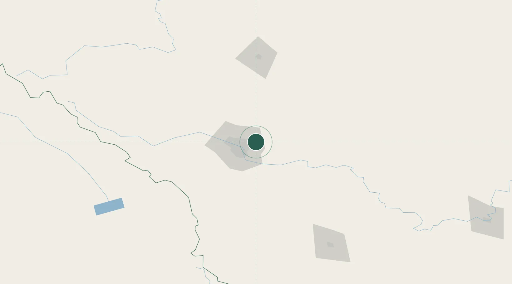
Nearby Logistics Neighbours

Cities
  1. 1Chestermere9 km
  2. 2Calgary12 km
  3. 3Balzac16 km
  4. 4Langdon21 km
  5. 5Irricana28 km
Nearest neighbours — logibook spatial index (haversine) over the source coordinates
Ports
  1. 1Mission City637 km
  2. 2Port Coquitlam668 km
  3. 3Bellingham672 km
  4. 4Port Moody674 km
  5. 5Fraser Mills674 km
Nearest neighbours — logibook spatial index (haversine) over the source coordinates
Airports
  1. 1Calgary International Airport11 km
  2. 2Calgary / Springbank Airport36 km
  3. 3Red Deer Regional Airport119 km
  4. 4Pincher Creek Airport177 km
  5. 5Lethbridge County Airport181 km
Nearest neighbours — logibook spatial index (haversine) over the source coordinates
Trade Zones
  1. 1Calgary Region Inland Port16 km
  2. 2Port Alberta - Edmonton FTZ283 km
  3. 3FTZ No. 187 Toole County300 km
  4. 4FTZ No. 242 Boundary County338 km
  5. 5FTZ No. 088 Great Falls437 km
Nearest neighbours — logibook spatial index (haversine) over the source coordinates
DatabookThe Record of Consolidated Knowledge
Canada beyond logistics?
Browse databook

All Sources

LocationsUN/LOCODE
UN/LOCODE — free
Portsthe NGA World Port Index
Public domain (US gov)
AirportsOurAirports
Public domain
Trade Zonesthe World Bank SEZ database
CC BY 4.0
Trade ZonesOpen Zone Map
CC BY
← Canada locations