Transport Functions
Port
Multimodal
Hub Profile
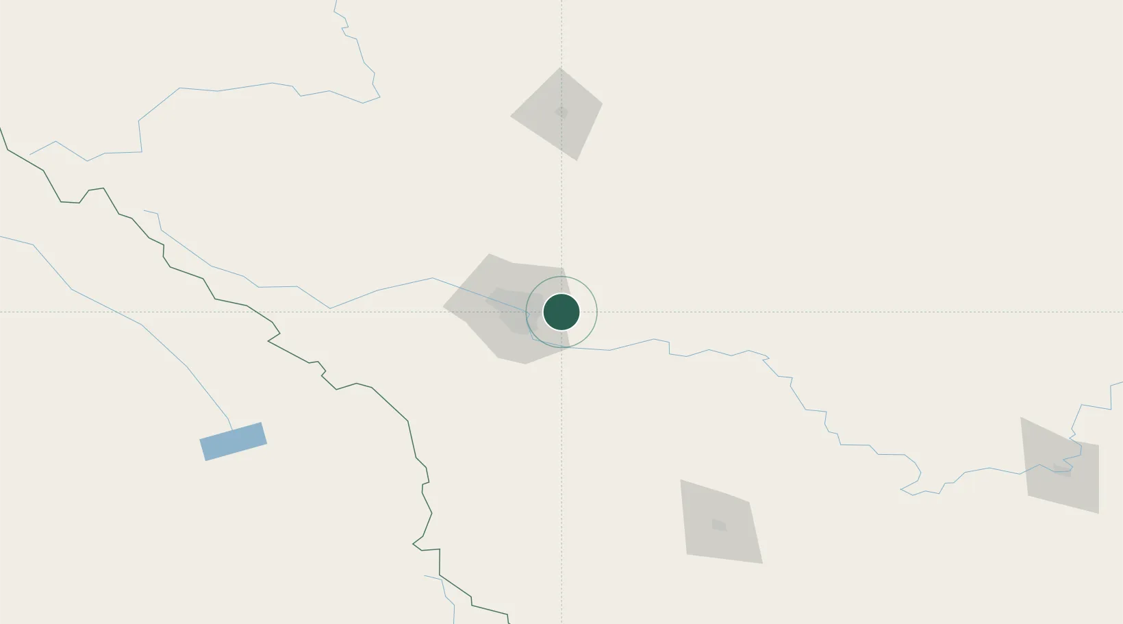
Place type
Populated place
Region
Alberta
Population
32,255
Time zone
America/Edmonton
Elevation
1,022 m
Location
Nearby Logistics Neighbours
Cities
- 1Rocky View County9 km
- 2Calgary10 km
- 3Langdon13 km
- 4Balzac25 km
- 5Irricana35 km
Ports
- 1Mission City637 km
- 2Port Coquitlam668 km
- 3Bellingham671 km
- 4Port Moody674 km
- 5Fraser Mills675 km
Airports
- 1Calgary International Airport17 km
- 2Calgary / Springbank Airport39 km
- 3Red Deer Regional Airport128 km
- 4Pincher Creek Airport169 km
- 5Lethbridge County Airport172 km
Trade Zones
- 1Calgary Region Inland Port18 km
- 2Port Alberta - Edmonton FTZ291 km
- 3FTZ No. 187 Toole County291 km
- 4FTZ No. 242 Boundary County333 km
- 5FTZ No. 088 Great Falls428 km
DatabookThe Record of Consolidated Knowledge
Canada beyond logistics?