Transport Functions
Rail
Road
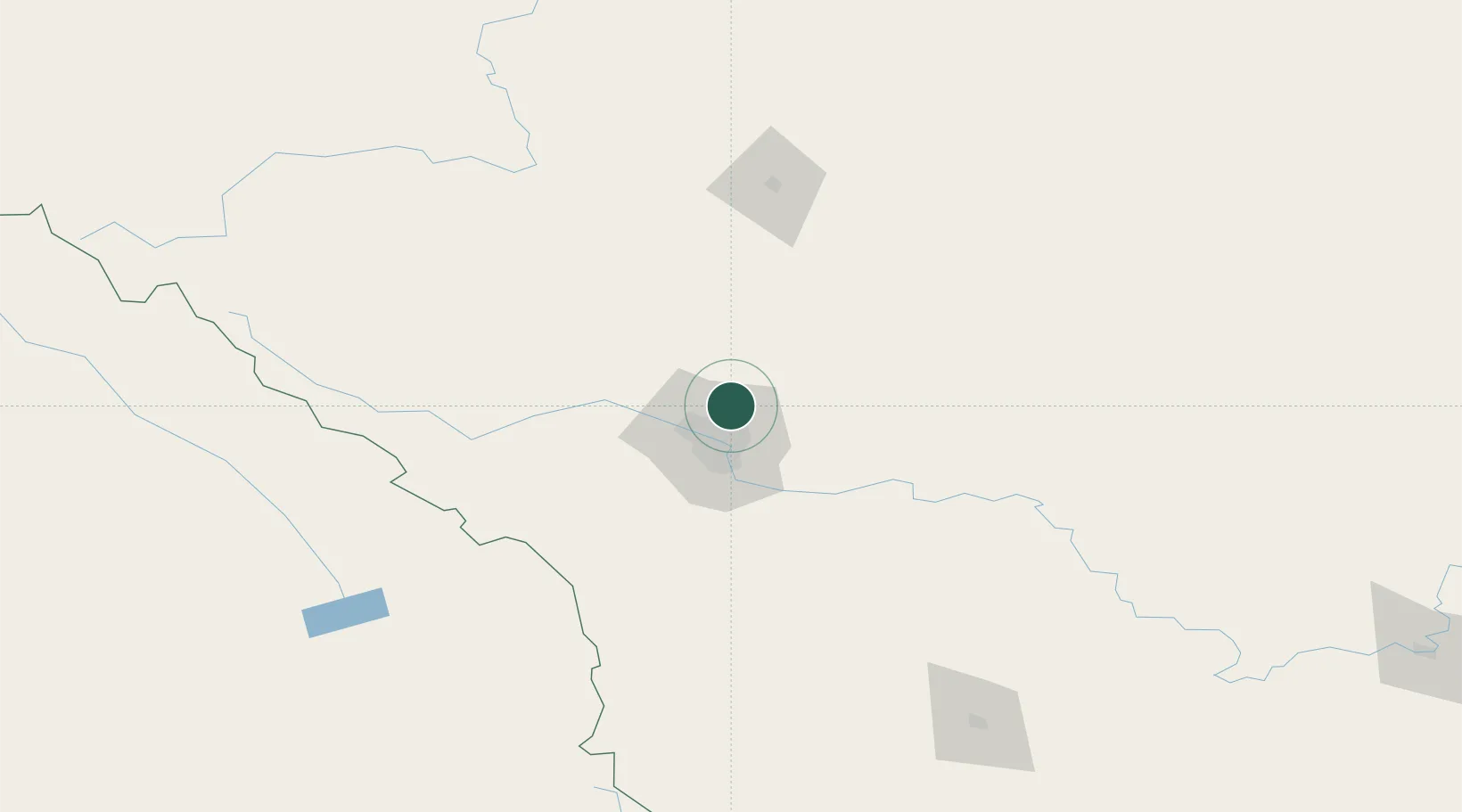
Hub Profile
Place type
Locality
Region
Alberta
Population
1
Time zone
America/Edmonton
Elevation
1,089 m
Location
Nearby Logistics Neighbours
Cities
- 1Rocky View County16 km
- 2Calgary22 km
- 3Chestermere25 km
- 4Irricana30 km
- 5Langdon37 km
Ports
- 1Mission City630 km
- 2Port Coquitlam660 km
- 3Bellingham665 km
- 4Port Moody666 km
- 5Fraser Mills666 km
Airports
- 1Calgary International Airport11 km
- 2Calgary / Springbank Airport28 km
- 3Red Deer Regional Airport108 km
- 4Pincher Creek Airport189 km
- 5Lethbridge County Airport196 km
Trade Zones
- 1Calgary Region Inland Port19 km
- 2Port Alberta - Edmonton FTZ273 km
- 3FTZ No. 187 Toole County315 km
- 4FTZ No. 242 Boundary County340 km
- 5FTZ No. 088 Great Falls453 km
DatabookThe Record of Consolidated Knowledge
Canada beyond logistics?