Transport Functions
Rail
Road
Hub Profile
Place type
Populated place
Region
Alberta
Time zone
America/Edmonton
Elevation
1,005 m
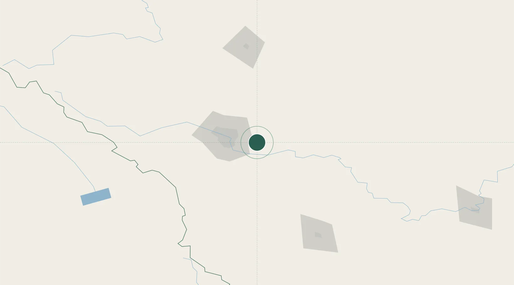
Location
Nearby Logistics Neighbours
Cities
- 1Chestermere13 km
- 2Rocky View County21 km
- 3Calgary21 km
- 4Okotoks34 km
- 5Balzac37 km
Ports
- 1Mission City646 km
- 2Port Coquitlam677 km
- 3Bellingham679 km
- 4Port Moody683 km
- 5Fraser Mills683 km
Airports
- 1Calgary International Airport29 km
- 2Calgary / Springbank Airport52 km
- 3Red Deer Regional Airport136 km
- 4Lethbridge County Airport161 km
- 5Pincher Creek Airport163 km
Trade Zones
- 1Calgary Region Inland Port30 km
- 2FTZ No. 187 Toole County280 km
- 3Port Alberta - Edmonton FTZ297 km
- 4FTZ No. 242 Boundary County334 km
- 5FTZ No. 088 Great Falls417 km
DatabookThe Record of Consolidated Knowledge
Canada beyond logistics?