Transport Functions
Rail
Road
Airport
Hub Profile
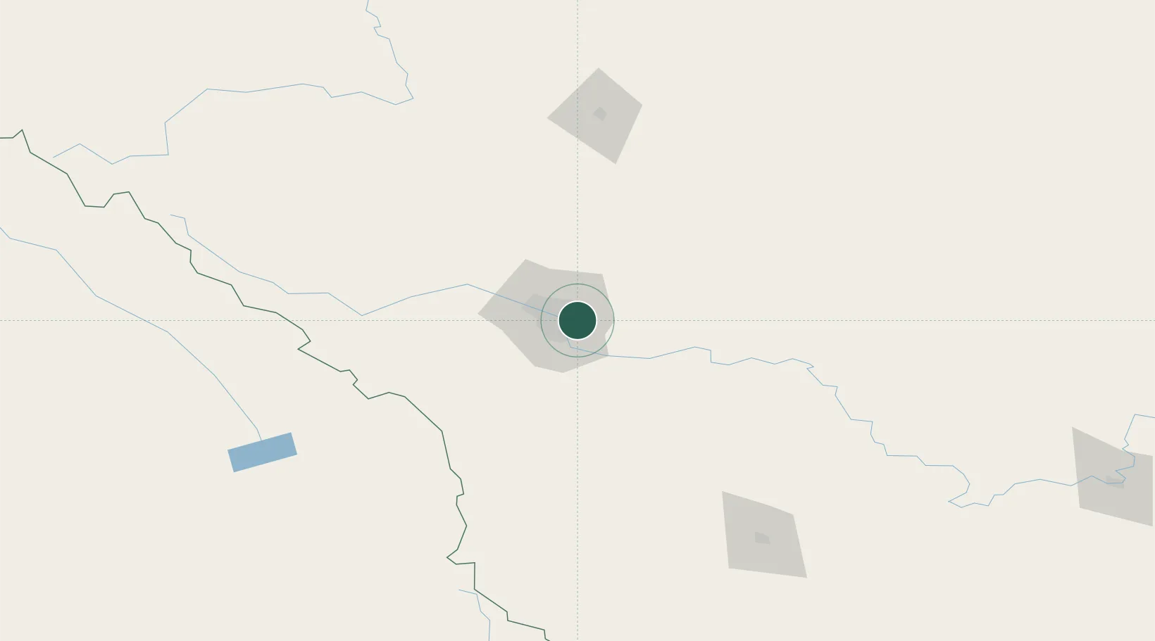
Place type
Populated place
Region
Alberta
Population
1,306,784
Time zone
America/Edmonton
Elevation
1,048 m
Logistics facilities
32
Location
Nearby Logistics Neighbours
Cities
- 1Chestermere10 km
- 2Rocky View County12 km
- 3Langdon21 km
- 4Balzac22 km
- 5Okotoks34 km
Ports
- 1Mission City628 km
- 2Port Coquitlam659 km
- 3Bellingham662 km
- 4Port Moody665 km
- 5Fraser Mills665 km
Airports
- 1Calgary International Airport11 km
- 2Calgary / Springbank Airport30 km
- 3Red Deer Regional Airport129 km
- 4Pincher Creek Airport167 km
- 5Lethbridge County Airport175 km
Trade Zones
- 1Calgary Region Inland Port8 km
- 2Port Alberta - Edmonton FTZ293 km
- 3FTZ No. 187 Toole County294 km
- 4FTZ No. 242 Boundary County326 km
- 5FTZ No. 088 Great Falls432 km
DatabookThe Record of Consolidated Knowledge
Canada beyond logistics?