Runway & Layout
Radio Frequencies
TWR
118.05 MHz
APP
118.125 MHz
Airport Specifications
ICAO code
GMAR
Airport class
Medium airport
Scheduled service
No
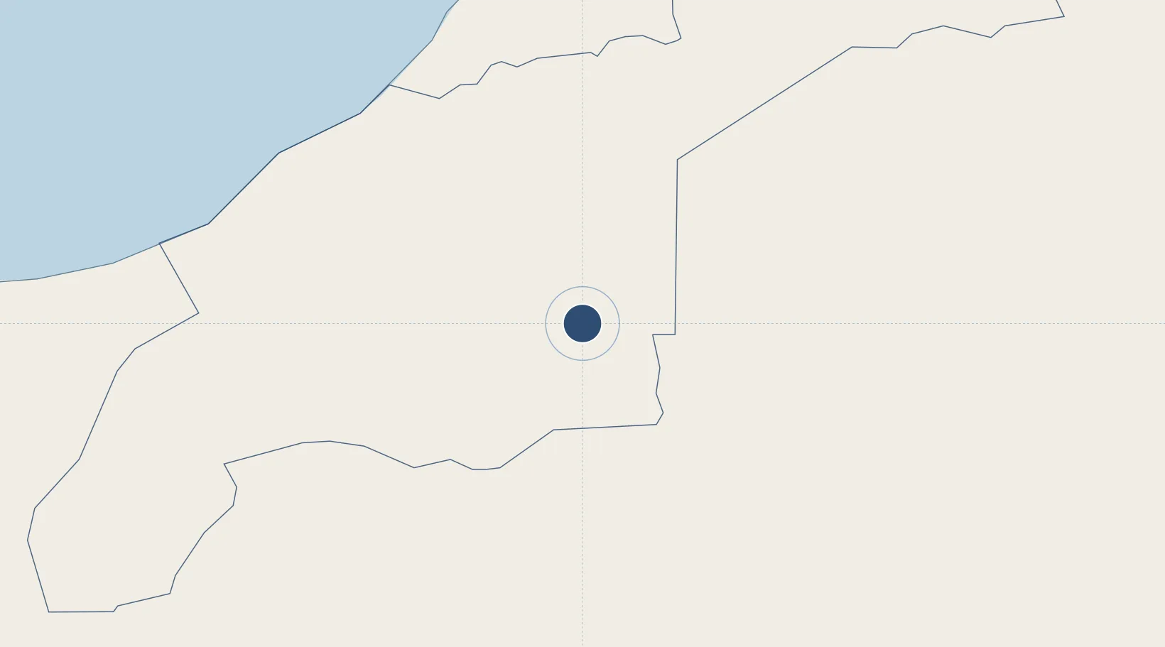
Location
Nearby Logistics Neighbours
Airports
- 1Tindouf Airport105 km
- 2Tan Tan Airport205 km
- 3Smara Airport266 km
- 4Al Massira Airport289 km
- 5Laayoune Hassan I International Airport399 km
Cities
- 1Aït Melloul291 km
- 2Agadir302 km
- 3Anza305 km
- 4Taroudant307 km
- 5Imintanoute384 km
Ports
- 1Agadir303 km
- 2Laayoune420 km
- 3Essaouira423 km
- 4Arrecife442 km
- 5Puerto Del Rosario460 km
Trade Zones
DatabookThe Record of Consolidated Knowledge
Western Sahara beyond logistics?