Transport Functions
Port
Road
Hub Profile
Place type
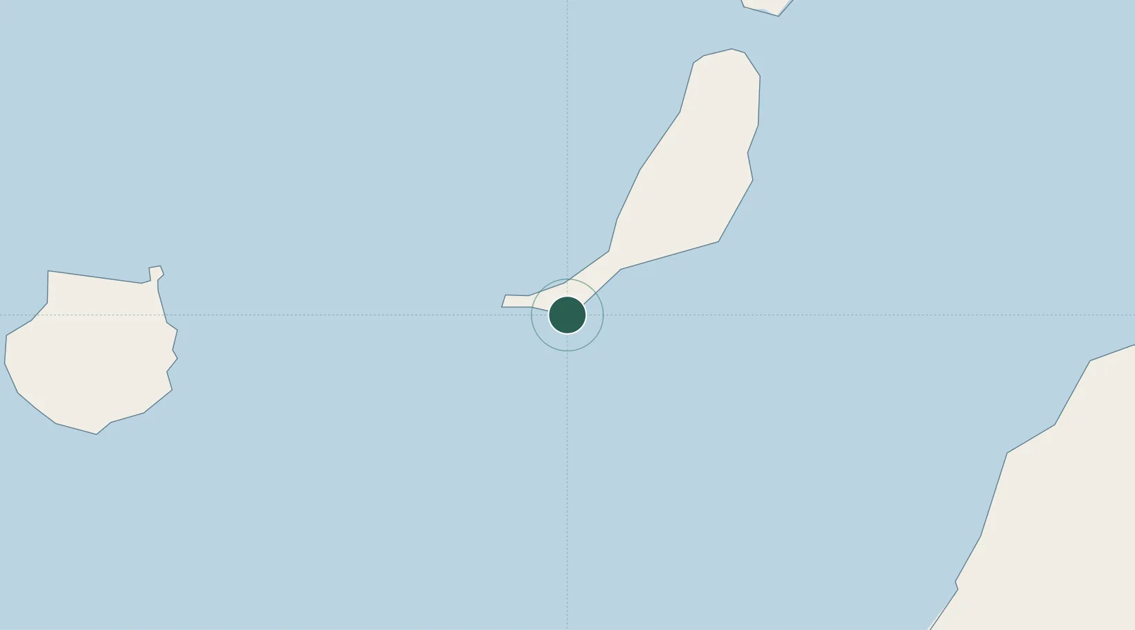
Populated place
Region
Canary Islands
Time zone
Atlantic/Canary
Elevation
13 m
Location
Nearby Logistics Neighbours
Cities
- 1Gran Tarajal35 km
- 2Puerto Rosario68 km
- 3Puerto del Rosario-Fuerteventura68 km
- 4Carrizal106 km
- 5Las Palmas de Gran Canaria107 km
Ports
- 1Puerto Del Rosario69 km
- 2Las Palmas107 km
- 3Arrecife127 km
- 4Laayoune139 km
- 5Santa Cruz De Tenerife192 km
Airports
Trade Zones
DatabookThe Record of Consolidated Knowledge
Spain beyond logistics?