Transport Functions
Port
Hub Profile
Place type
Populated place
Region
Canary Islands
Time zone
Atlantic/Canary
Elevation
9 m
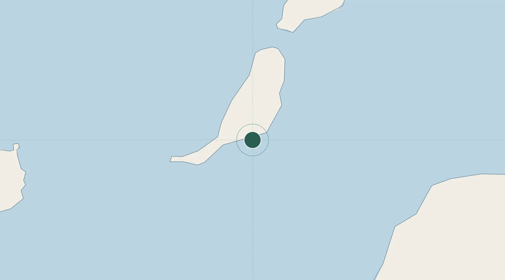
Location
Nearby Logistics Neighbours
Cities
- 1Morro del Jable35 km
- 2Puerto del Rosario-Fuerteventura36 km
- 3Puerto Rosario36 km
- 4Puerto Calero86 km
- 5Puerto del Carmen87 km
Ports
- 1Puerto Del Rosario37 km
- 2Arrecife96 km
- 3Laayoune137 km
- 4Las Palmas137 km
- 5Santa Cruz De Tenerife219 km
Airports
Trade Zones
DatabookThe Record of Consolidated Knowledge
Spain beyond logistics?