Seaport · Spain
ArrecifeESACE
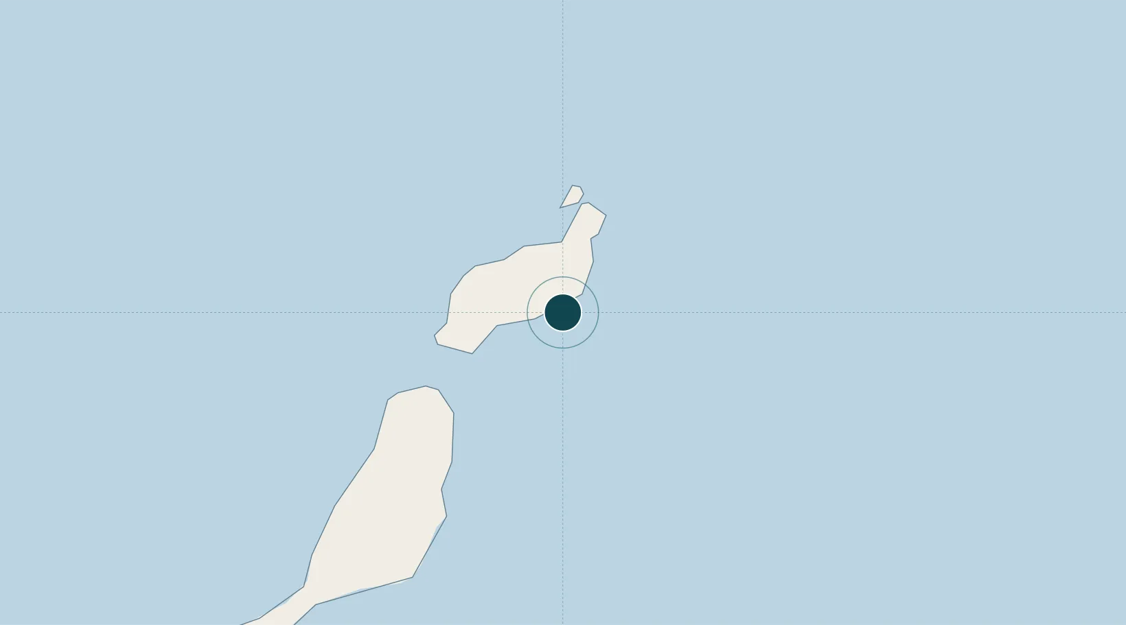
28.9500°, -13.5333°
4.9 m
Channel depth
2
Container terminals
55.1
Port liner connectivity
Channel & Berth Profile
Pilotage, Tugs & Services
Pilotage compulsoryYES
Pilotage availableYES
Potable waterYES
MedicalYES
Facilities & Capabilities
Container—
Ro-Ro—
Liquid bulk—
Dry bulk—
Oil terminal—
Break bulk—
Dry dockNO
RepairsNO
BunkeringYES
Rail link—
Dangerous cargo—
ISPS security—
Harbour Specifications
Harbour size
Very Small
Harbour type
Coastal (Breakwater)
Shelter
Fair
Water body
North Atlantic Ocean
Tidal range
2 m
Pilotage
Yes
Liner Connectivity
55.1
PLSCI
Port Liner Shipping Connectivity Index for Arrecife, as published by UNCTAD for the latest available quarter. Higher values indicate stronger scheduled liner-shipping integration.
Shown relative to the highest per-port PLSCI in the dataset (1,657.9).
Location
Container Terminals · 2
BOLUDA MARITIME TERMINALS LANZAROTE
BMT BOLUDA CORPORACION MARITIMA S.A.
PORT OF ARRECIFE, LANZAROTE
LMM TERMINAL PORTUARIA DE LANZAROTE S.L.
Nearby Logistics Neighbours
Ports
- 1Puerto Del Rosario59 km
- 2Las Palmas204 km
- 3Laayoune208 km
- 4Santa Cruz De Tenerife269 km
- 5Agadir411 km
Cities
- 1San Bartolomé de Tirajana9 km
- 2Puerto del Carmen14 km
- 3Puerto Calero17 km
- 4La Graciosa30 km
- 5Orzola31 km
Airports
- 1César Manrique-Lanzarote Airport7 km
- 2Fuerteventura Airport64 km
- 3Laayoune Hassan I International Airport203 km
- 4Gran Canaria Airport214 km
- 5Tan Tan Airport238 km
Trade Zones
DatabookThe Record of Consolidated Knowledge
Spain beyond logistics?