UN/LOCODE hub · Spain
ESFUE
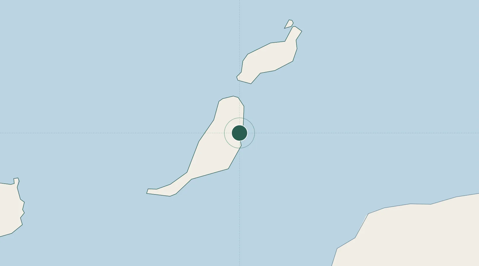
Puerto del Rosario-Fuerteventura
28.4951°, -13.8555°
2
Transport functions
2
Container terminals
Transport Functions
Port
Airport
Hub Profile
Logistics facilities
3
Container terminals
2
Location
Nearby Logistics Neighbours
Cities
- 1Puerto Rosario1 km
- 2Gran Tarajal36 km
- 3Puerto Calero49 km
- 4Puerto del Carmen50 km
- 5San Bartolomé de Tirajana61 km
Ports
- 1Arrecife60 km
- 2Las Palmas158 km
- 3Laayoune162 km
- 4Santa Cruz De Tenerife232 km
- 5Santa Cruz De La Palma381 km
Airports
Trade Zones
DatabookThe Record of Consolidated Knowledge
Spain beyond logistics?