Seaport · Spain
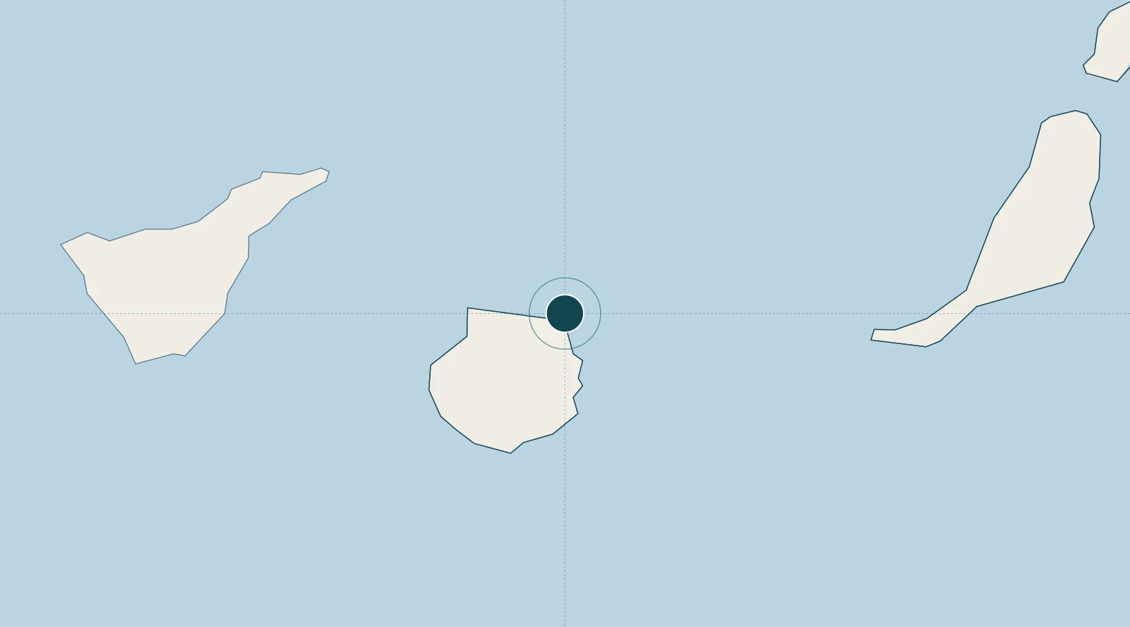
Las PalmasESLPA
28.1500°, -15.4167°
11.0 m
Channel depth
2
Container terminals
298.0
Port liner connectivity
Channel & Berth Profile
Pilotage, Tugs & Services
Pilotage compulsoryYES
Pilotage advisableYES
Tug assistanceYES
Salvage tugsYES
Potable waterYES
MedicalYES
Garbage disposalYES
Facilities & Capabilities
Container—
Ro-Ro—
Liquid bulk—
Dry bulk—
Oil terminal—
Break bulk—
Dry dock—
RepairsNO
BunkeringYES
Rail link—
Dangerous cargo—
ISPS security—
Harbour Specifications
Harbour size
Large
Harbour type
Coastal (Breakwater)
Shelter
Good
Water body
North Atlantic Ocean
Tidal range
2 m
Overhead limit
No
Pilotage
Yes
Liner Connectivity
298
PLSCI
Port Liner Shipping Connectivity Index for Las Palmas, as published by UNCTAD for the latest available quarter. Higher values indicate stronger scheduled liner-shipping integration.
Shown relative to the highest per-port PLSCI in the dataset (1,657.9).
Location
Container Terminals · 2
BOLUDA MARITIME TERMINALS LA LUZ
LALUZ BOLUDA CORPORACION MARITIMA S.A.
OPERACIONES PORTUARIAS, S.A.
OPCSA
Nearby Logistics Neighbours
Ports
- 1Santa Cruz De Tenerife87 km
- 2Puerto Del Rosario158 km
- 3Arrecife204 km
- 4Laayoune229 km
- 5Santa Cruz De La Palma236 km
Cities
- 1Arucas11 km
- 2Arucas11 km
- 3Santa Brigida15 km
- 4Galdar23 km
- 5Carrizal28 km
Airports
- 1Gran Canaria Airport24 km
- 2Tenerife Norte-Ciudad de La Laguna Airport98 km
- 3Tenerife Sur Airport114 km
- 4Fuerteventura Airport156 km
- 5La Gomera Airport177 km
Trade Zones
DatabookThe Record of Consolidated Knowledge
Spain beyond logistics?