Export Processing Zone · Mali
Timbuktu Industrial Zone Active
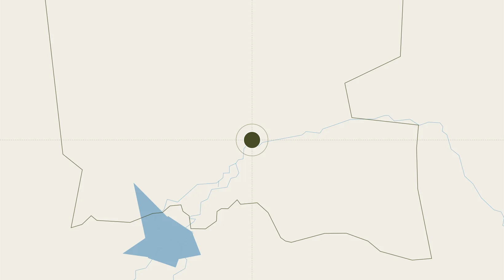
16.7257°, -2.9955°
30 ha
Zone area
1,266.5 km
Nearest port
1.4 km
Nearest airport
Gateway access
Zone profile
Zone type
Export Processing Zone
Region
Timbuktu
Status
Active
Management
Public
Operator
Government of Mali
Legal framework
Law No. 2012-01-6 of 27 February 20/2
Location
Nearby Logistics Neighbours
Ports
- 1Lome1267 km
- 2Kpeme1269 km
- 3Tema1276 km
- 4Abidjan1281 km
- 5Port Bouet1282 km
Airports
- 1Tombouktou Airport1 km
- 2Mopti Airport272 km
- 3Gao International Airport323 km
- 4Ouagadougou Thomas Sankara International Airport512 km
- 5Bobo Dioulasso Airport635 km
Cities
- 1Ziniaré495 km
- 2Koudougou504 km
- 3Dialakorobougou645 km
- 4Bérégadougou689 km
- 5Bolgatanga700 km
Trade Zones
- 1Mopti Industrial Zone279 km
- 2Gao Industrial Zone321 km
- 3Kossodo Industrial Zone505 km
- 4Goughin Industrial Zone509 km
- 5Ségou Industrial Zone512 km
DatabookThe Record of Consolidated Knowledge
Mali beyond logistics?