Export Processing Zone · Mali
Mopti Industrial Zone Active
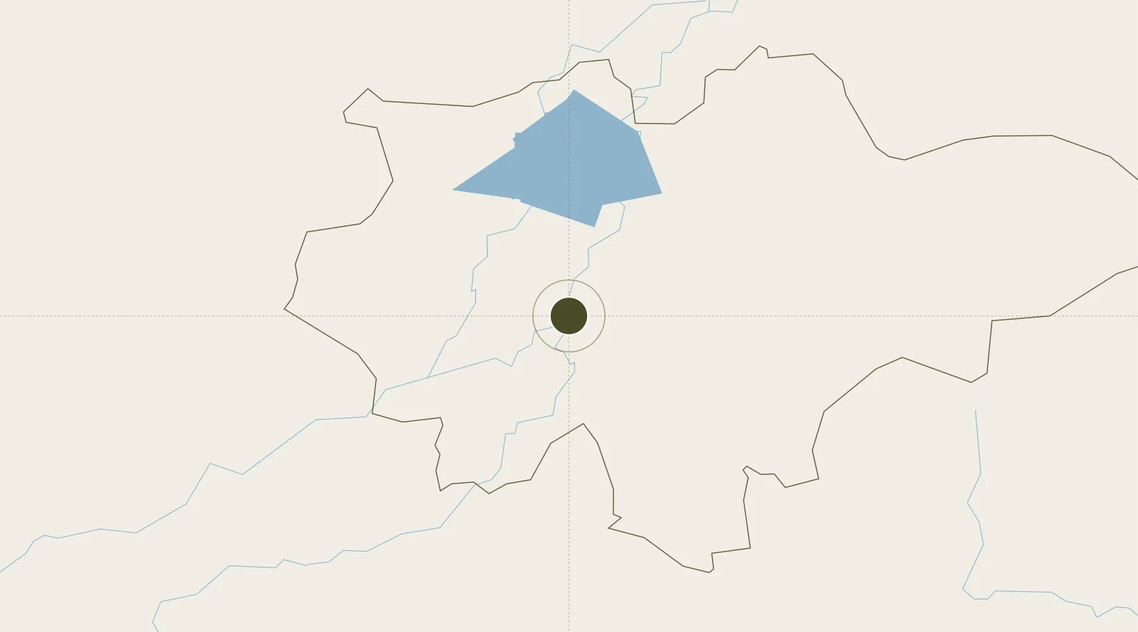
14.4957°, -4.1890°
300 ha
Zone area
1,028.3 km
Nearest port
11.9 km
Nearest airport
Gateway access
Zone profile
Zone type
Export Processing Zone
Region
Mopti
Status
Active
Management
Public
Operator
Government of Mali
Legal framework
Law No. 2012-01-6 of 27 February 20/2
Location
Nearby Logistics Neighbours
Ports
- 1Abidjan1028 km
- 2Port Bouet1030 km
- 3Espoir Marine Terminal1051 km
- 4Baobab Marine Terminal1060 km
- 5Tema1088 km
Airports
- 1Mopti Airport12 km
- 2Tombouktou Airport279 km
- 3Sikasso (Dignangan) Airport366 km
- 4Bobo Dioulasso Airport371 km
- 5Ouagadougou Thomas Sankara International Airport375 km
Cities
- 1Koudougou320 km
- 2Ziniaré378 km
- 3Dialakorobougou397 km
- 4Bérégadougou419 km
- 5Bolgatanga549 km
Trade Zones
- 1Ségou Industrial Zone259 km
- 2Koutiala Industrial Zone274 km
- 3Ouélessebougou Industrial Zone274 km
- 4Timbuktu Industrial Zone279 km
- 5Fana Industrial Zone356 km
DatabookThe Record of Consolidated Knowledge
Mali beyond logistics?