Large airport · Mali
Tombouktou AirportGATB
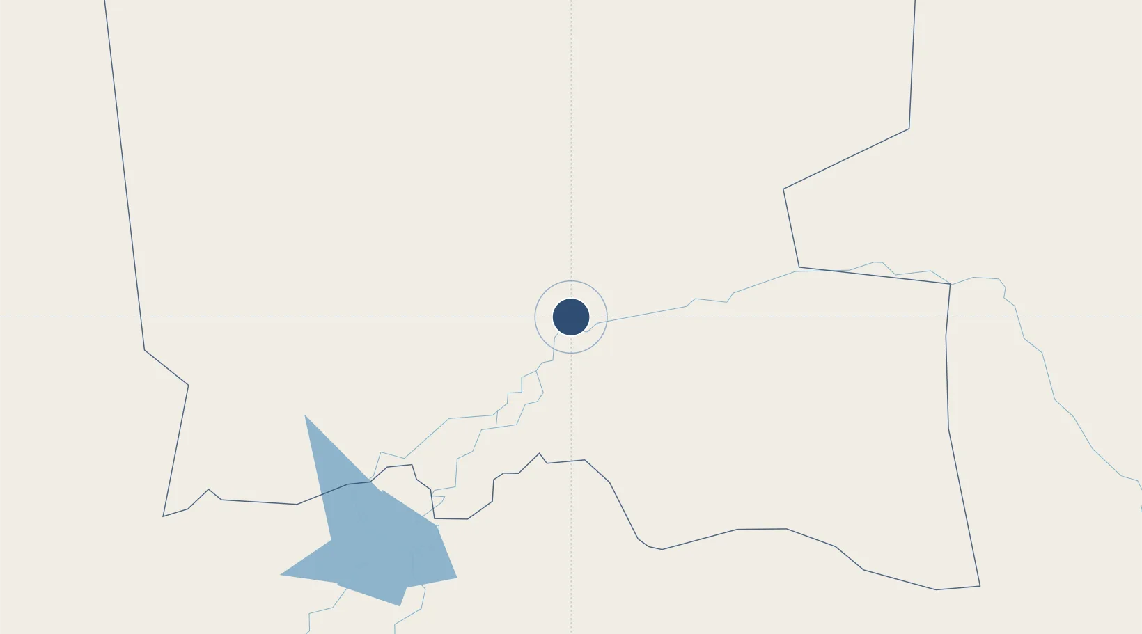
16.7305°, -3.0076°
6,923 ft
Longest runway
1
Runways
863 ft
Elevation
Runway & Layout

Radio Frequencies
TWR
118.3 MHz
Navaids
SKO VOR-DME Sikasso 116.50 MHz
TB NDB Tombouctou 268 kHz
TBT VOR-DME Tombouctou 117.30 MHz
Runways · 1
| Runway | Dimensions | Surface | True heading | Lit |
|---|---|---|---|---|
| 07/25 | 6,923 × 98ft | Asphalt | 068° | ✓ |
Airport Specifications
IATA code
TOM
ICAO code
GATB
Airport class
Large airport
Scheduled service
Yes
Runway surface
Asphalt
Served city
Timbuktu
Location
Nearby Logistics Neighbours
Airports
- 1Mopti Airport272 km
- 2Gao International Airport325 km
- 3Ouagadougou Thomas Sankara International Airport513 km
- 4Bobo Dioulasso Airport636 km
- 5Sikasso (Dignangan) Airport645 km
Cities
- 1Ziniaré496 km
- 2Koudougou505 km
- 3Dialakorobougou645 km
- 4Bérégadougou689 km
- 5Bolgatanga701 km
Ports
- 1Lome1268 km
- 2Kpeme1270 km
- 3Tema1277 km
- 4Abidjan1281 km
- 5Port Bouet1283 km
Trade Zones
- 1Timbuktu Industrial Zone1 km
- 2Mopti Industrial Zone279 km
- 3Gao Industrial Zone323 km
- 4Kossodo Industrial Zone506 km
- 5Goughin Industrial Zone510 km
DatabookThe Record of Consolidated Knowledge
Mali beyond logistics?