UN/LOCODE hub · Malaysia
MYSKB
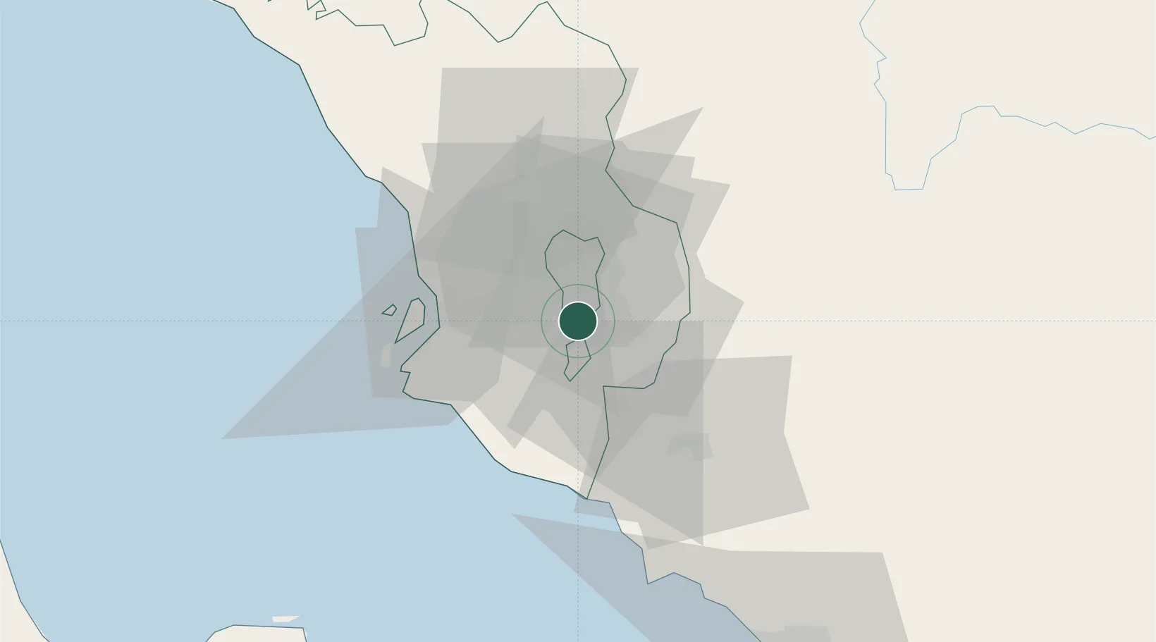
Seri Kembangan
3.0167°, 101.7000°
130,252
Population
2
Transport functions
Transport Functions
Rail
Road
Hub Profile
Place type
Populated place
Region
Selangor
Population
130,252
Time zone
Asia/Kuala_Lumpur
Elevation
57 m
Location
Nearby Logistics Neighbours
Cities
- 1Pandamaran0 km
- 2Sungai Way12 km
- 3Cyberjaya12 km
- 4Subang Jaya14 km
- 5Damansara15 km
Ports
- 1Port Klang33 km
- 2Port Dickson55 km
- 3Pelabuhan Sungai Udang98 km
- 4Melaka109 km
- 5Teluk Anson135 km
Airports
Trade Zones
DatabookThe Record of Consolidated Knowledge
Malaysia beyond logistics?