Transport Functions
Multimodal
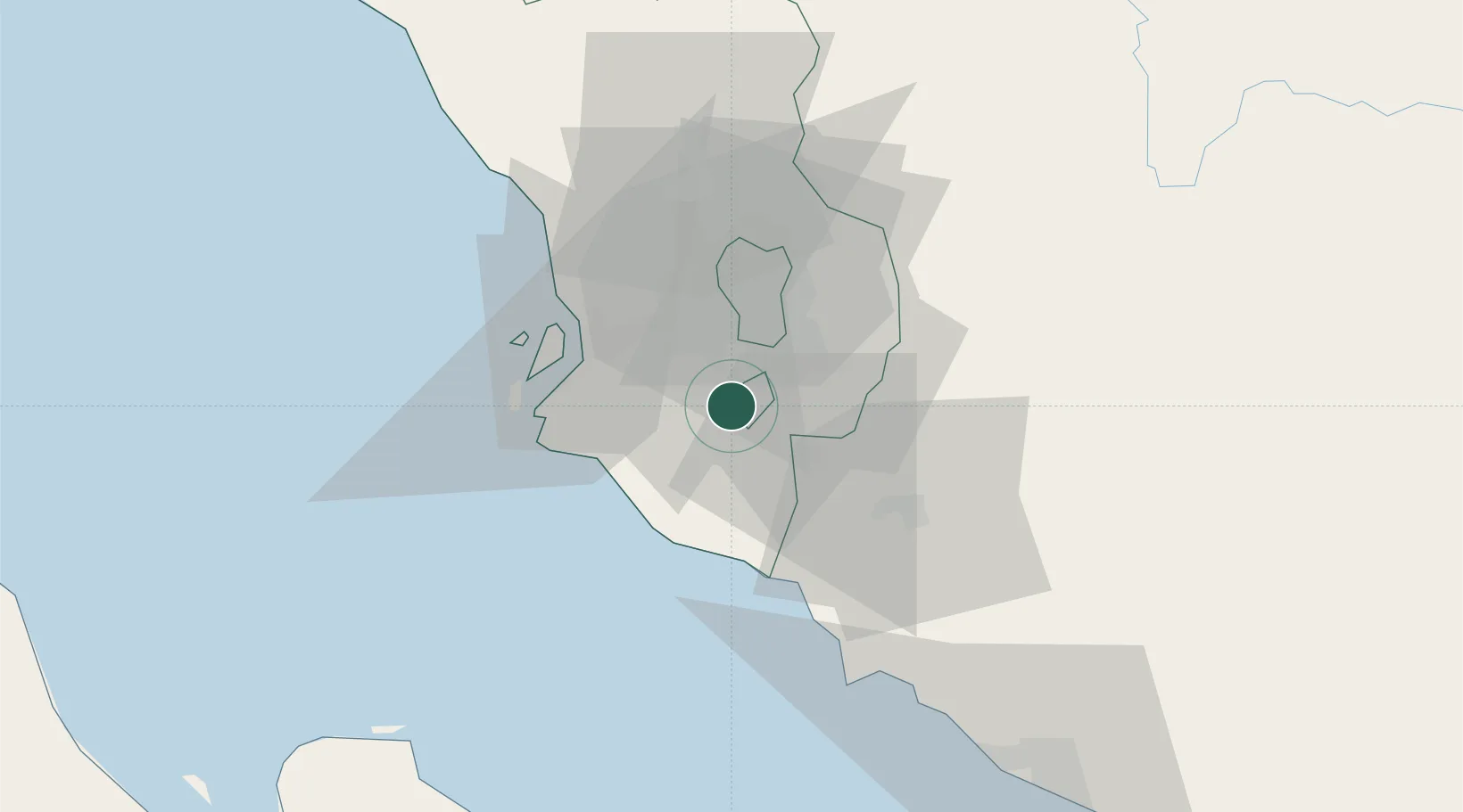
Hub Profile
Place type
Populated place
Region
Selangor
Population
79,200
Time zone
Asia/Kuala_Lumpur
Elevation
24 m
Location
Nearby Logistics Neighbours
Cities
- 1Pandamaran12 km
- 2Seri Kembangan12 km
- 3Subang Jaya18 km
- 4Sungai Way19 km
- 5Kuala Langat20 km
Ports
- 1Port Klang29 km
- 2Port Dickson45 km
- 3Pelabuhan Sungai Udang92 km
- 4Melaka104 km
- 5Dumai139 km
Airports
DatabookThe Record of Consolidated Knowledge
Malaysia beyond logistics?