UN/LOCODE hub · Malaysia
MYKLG

Kuala Langat

2.7500°, 101.5833°
2
Transport functions

Transport Functions

Rail
Road
UN/LOCODE

Hub Profile

Region
10
GeoNames

Location

Location of MYKLG
Natural Earth 10m (public domain) · 10 · MYKLG · 2.75, 101.58GoogleOSMYandex

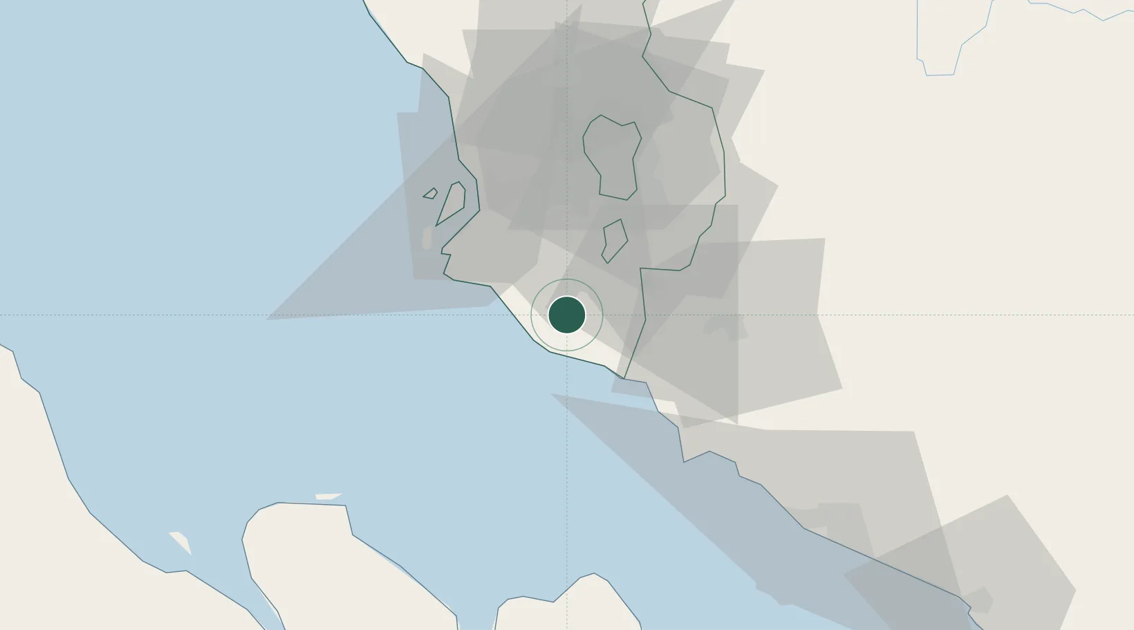
Nearby Logistics Neighbours

Cities
  1. 1Bandar Enstek17 km
  2. 2Sepang, Selangor19 km
  3. 3Cyberjaya20 km
  4. 4Nilai25 km
  5. 5Carey Island Estate28 km
Nearest neighbours — logibook spatial index (haversine) over the source coordinates
Ports
  1. 1Port Dickson33 km
  2. 2Port Klang35 km
  3. 3Pelabuhan Sungai Udang83 km
  4. 4Melaka96 km
  5. 5Dumai120 km
Nearest neighbours — logibook spatial index (haversine) over the source coordinates
Airports
  1. 1Kuala Lumpur International Airport14 km
  2. 2Sultan Abdul Aziz Shah International Airport43 km
  3. 3Malacca International Airport92 km
  4. 4Pinang Kampai Airport128 km
  5. 5Pulau Pangkor Airport202 km
Nearest neighbours — logibook spatial index (haversine) over the source coordinates
Trade Zones
  1. 1Bandar Mahkota Banting Industrial Park10 km
  2. 2Kuala Lumpur International Airport (Klia) Free Commercial Zone13 km
  3. 3Digital Free Trade Zone16 km
  4. 4Techpark @ Enstek20 km
  5. 5Nilai Utama Industrial Park20 km
Nearest neighbours — logibook spatial index (haversine) over the source coordinates
DatabookThe Record of Consolidated Knowledge
Malaysia beyond logistics?
Browse databook

All Sources

LocationsUN/LOCODE
UN/LOCODE — free
Portsthe NGA World Port Index
Public domain (US gov)
AirportsOurAirports
Public domain
Trade Zonesthe World Bank SEZ database
CC BY 4.0
Trade ZonesOpen Zone Map
CC BY
← Malaysia locations