Transport Functions
Rail
Road
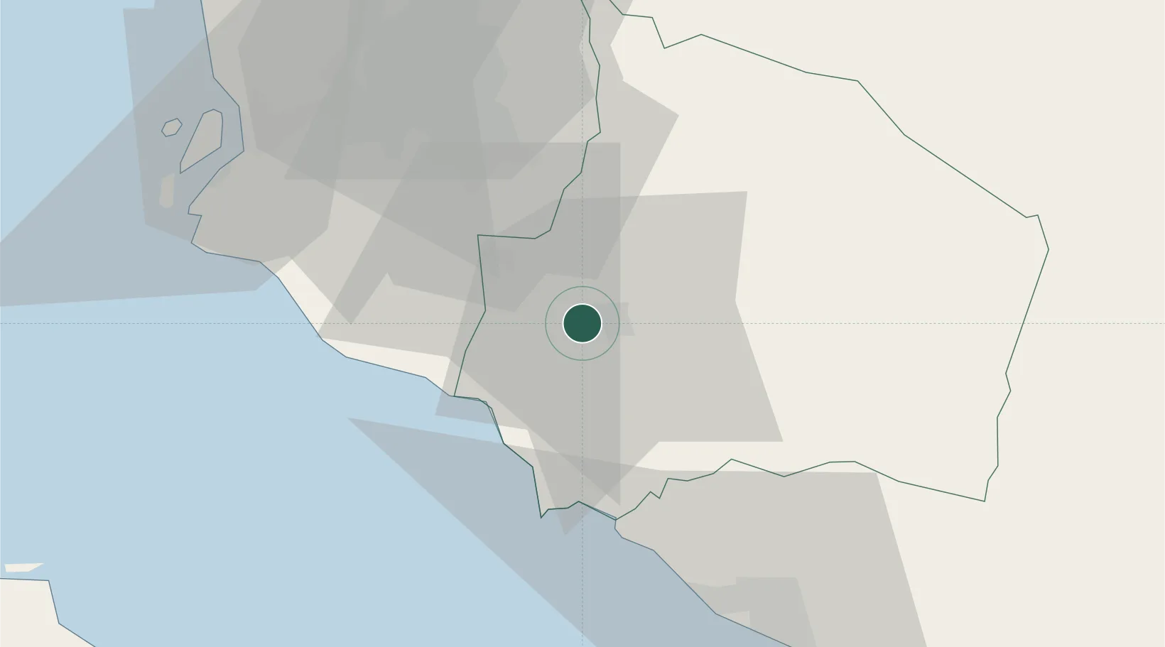
Hub Profile
Place type
Regional capital
Region
Negeri Sembilan
Population
372,917
Time zone
Asia/Kuala_Lumpur
Elevation
59 m
Location
Nearby Logistics Neighbours
Cities
- 1Senawang4 km
- 2Sendayan Village10 km
- 3Nilai19 km
- 4Beranang20 km
- 5Sepang, Selangor20 km
Ports
- 1Port Dickson26 km
- 2Pelabuhan Sungai Udang56 km
- 3Port Klang67 km
- 4Melaka67 km
- 5Muar102 km
Airports
Trade Zones
- 1Galla Industrial Park4 km
- 2Senawang Industrial Park6 km
- 3Sendayan Tech Valley12 km
- 4Techpark @ Enstek19 km
- 5Pedas Halal Park (Miel)21 km
DatabookThe Record of Consolidated Knowledge
Malaysia beyond logistics?