Transport Functions
Rail
Road
Hub Profile
Region
05
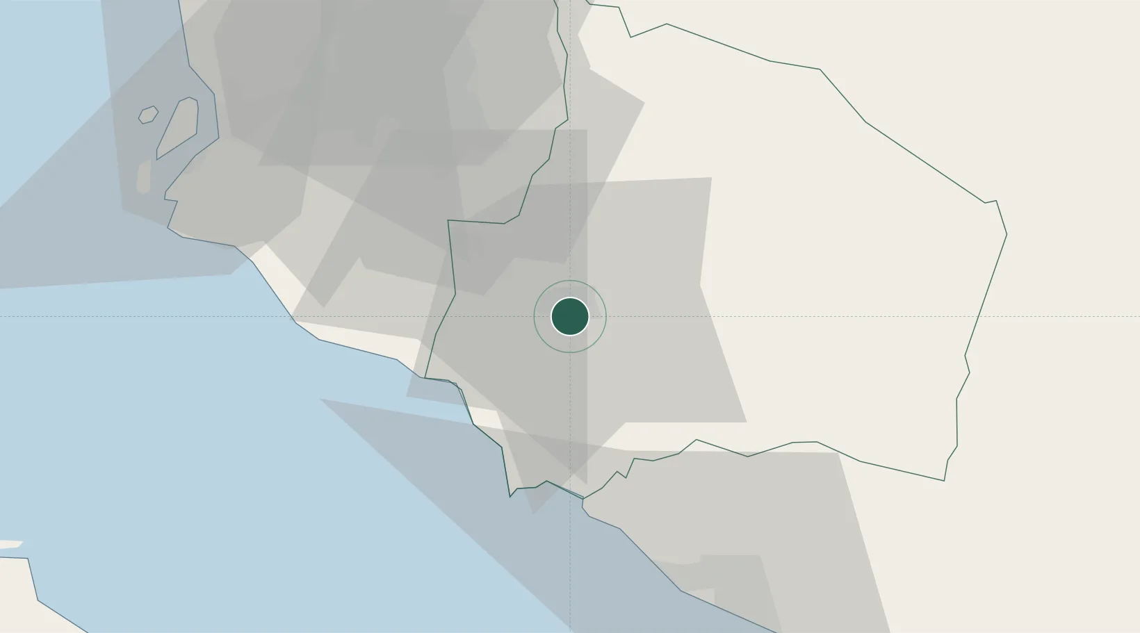
Location
Nearby Logistics Neighbours
Cities
- 1Seremban4 km
- 2Sendayan Village13 km
- 3Rembau20 km
- 4Nilai23 km
- 5Beranang23 km
Ports
- 1Port Dickson28 km
- 2Pelabuhan Sungai Udang53 km
- 3Melaka64 km
- 4Port Klang71 km
- 5Muar98 km
Airports
Trade Zones
- 1Senawang Industrial Park2 km
- 2Galla Industrial Park8 km
- 3Sendayan Tech Valley15 km
- 4Pedas Halal Park (Miel)17 km
- 5Techpark @ Enstek23 km
DatabookThe Record of Consolidated Knowledge
Malaysia beyond logistics?