Medium airport · Madagascar
Sambava AirportFMNS
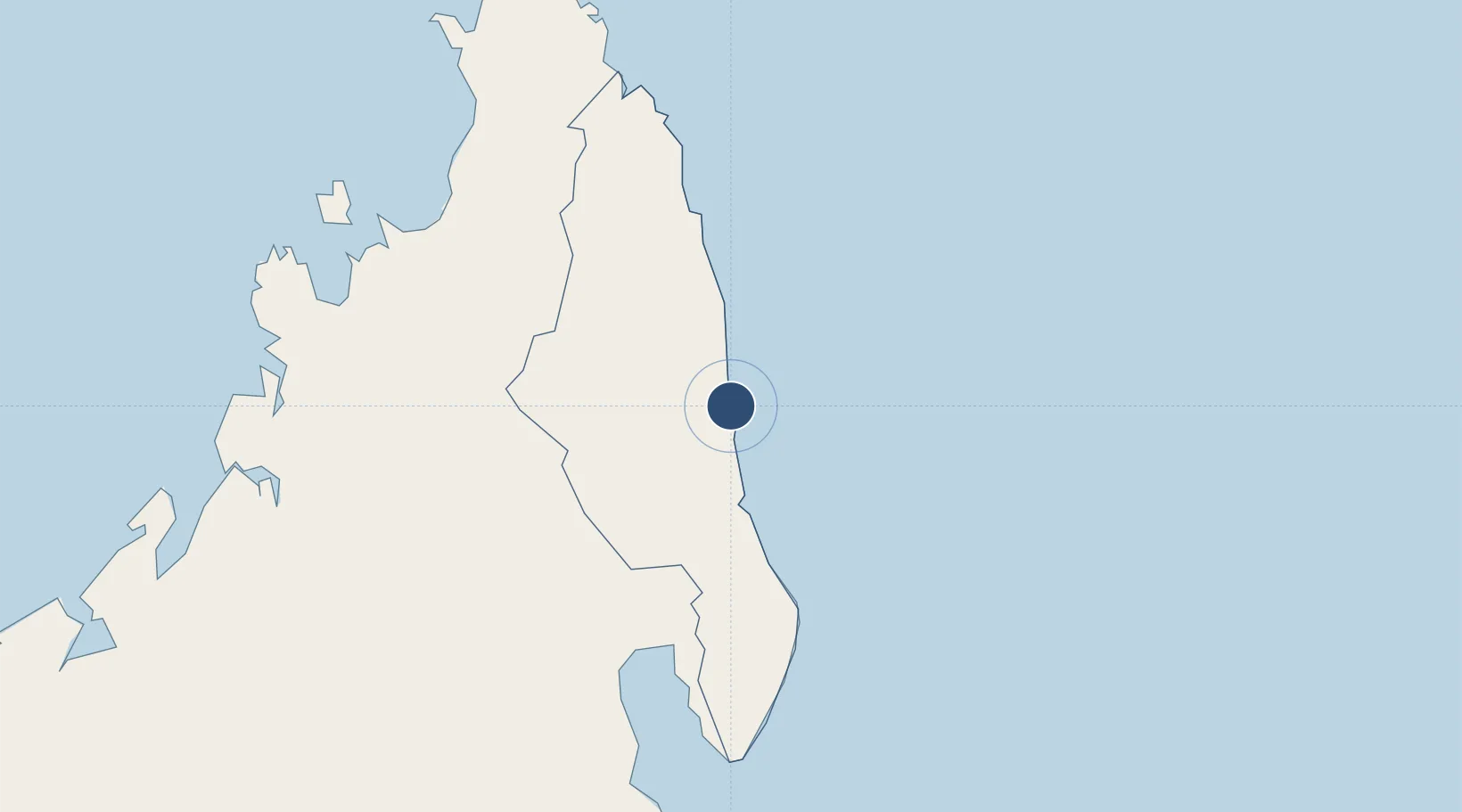
-14.2786°, 50.1747°
4,577 ft
Longest runway
1
Runways
20 ft
Elevation
Runway & Layout

Radio Frequencies
A/G
548.4 MHz
A/G VOICE RDO
AFIS
119.6 MHz
Navaids
SA NDB Sambava 376 kHz
Runways · 1
| Runway | Dimensions | Surface | True heading | Lit |
|---|---|---|---|---|
| 16/34 | 4,577 × 98ft | Asphalt | 152° | ✓ |
Airport Specifications
IATA code
SVB
ICAO code
FMNS
Airport class
Medium airport
Scheduled service
Yes
Runway surface
Asphalt
Served city
Sambava
Location
Nearby Logistics Neighbours
Airports
- 1Andapa Airport73 km
- 2Antsirabe Airport82 km
- 3Vohemar Airport102 km
- 4Maroantsetra Airport139 km
- 5Mananara Nord Airport214 km
Cities
- 1Nosy-Be233 km
- 2Antsiranana243 km
- 3Tamatave (Toamasina)438 km
- 4Dzaoudzi-Pamandzi Apt554 km
- 5Mamoudzou560 km
Ports
- 1Maroantsetra136 km
- 2Antsiranana244 km
- 3Toamasina440 km
- 4Mahajanga446 km
- 5Dzaoudzi558 km
Trade Zones
DatabookThe Record of Consolidated Knowledge
Madagascar beyond logistics?