Diversified Zone · Cambodia

Kiri Sakor Koh Kong Special Economic Zone Active
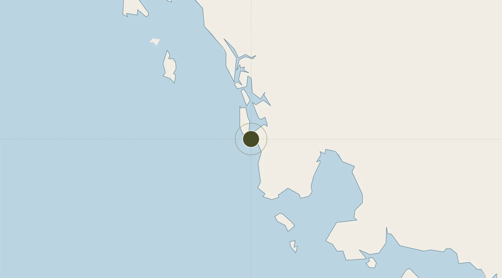
11.2272°, 103.0563°
2,200 ha
Zone area
81.9 km
Nearest port
39.5 km
Nearest airport

Gateway access

Nearest neighbours — logibook spatial index (haversine) over the source coordinates

Zone profile

Zone type
Diversified Zone
Open Zone Map
Region
Kaôh Kong
Open Zone Map
Status
Active
Open Zone Map
Management
Private
Open Zone Map
Operator
Koh Kong SEZ Co., Ltd of Oknha Ly Yong Phat
Open Zone Map
Legal framework
Sub-degree no. 125 ANKr.BK
Open Zone Map

Location

Location of ozm-269
Natural Earth 10m (public domain) · Kaôh Kong · ozm-269 · 11.23, 103.06GoogleOSMYandex

Nearby Logistics Neighbours

Ports
  1. 1Kampong Saom82 km
  2. 2Duong Dong150 km
  3. 3Benchamas Terminal213 km
  4. 4Tantawan Marine Terminal220 km
  5. 5Rayong Tpi Terminal247 km
Nearest neighbours — logibook spatial index (haversine) over the source coordinates
Airports
  1. 1Dara Sakor International Airport40 km
  2. 2Sihanouk International Airport96 km
  3. 3Trat Airport141 km
  4. 4Phú Quốc International Airport156 km
  5. 5Phnom Penh International Airport198 km
Nearest neighbours — logibook spatial index (haversine) over the source coordinates
Cities
  1. 1Khlong Yai62 km
  2. 2Kâmpóng Saôm85 km
  3. 3Chanthaburi149 km
  4. 4Phu Quoc150 km
  5. 5Pursat173 km
Nearest neighbours — logibook spatial index (haversine) over the source coordinates
Trade Zones
  1. 1Suoy Chheng Special Economic Zone46 km
  2. 2Neang Koh Kong Special Economic Zone48 km
  3. 3Sihanoukville 2 Special Economic Zone66 km
  4. 4Oknha Mong Special Economic Zone80 km
  5. 5Sihanoukville 1 Special Economic Zone80 km
Nearest neighbours — logibook spatial index (haversine) over the source coordinates
DatabookThe Record of Consolidated Knowledge
Cambodia beyond logistics?
Browse databook

All Sources

Trade ZonesOpen Zone Map
CC BY
Portsthe NGA World Port Index
Public domain (US gov)
AirportsOurAirports
Public domain
LocationsUN/LOCODE
UN/LOCODE — free
← Cambodia trade zones