Large airport · Cambodia

Dara Sakor International AirportKH-0001
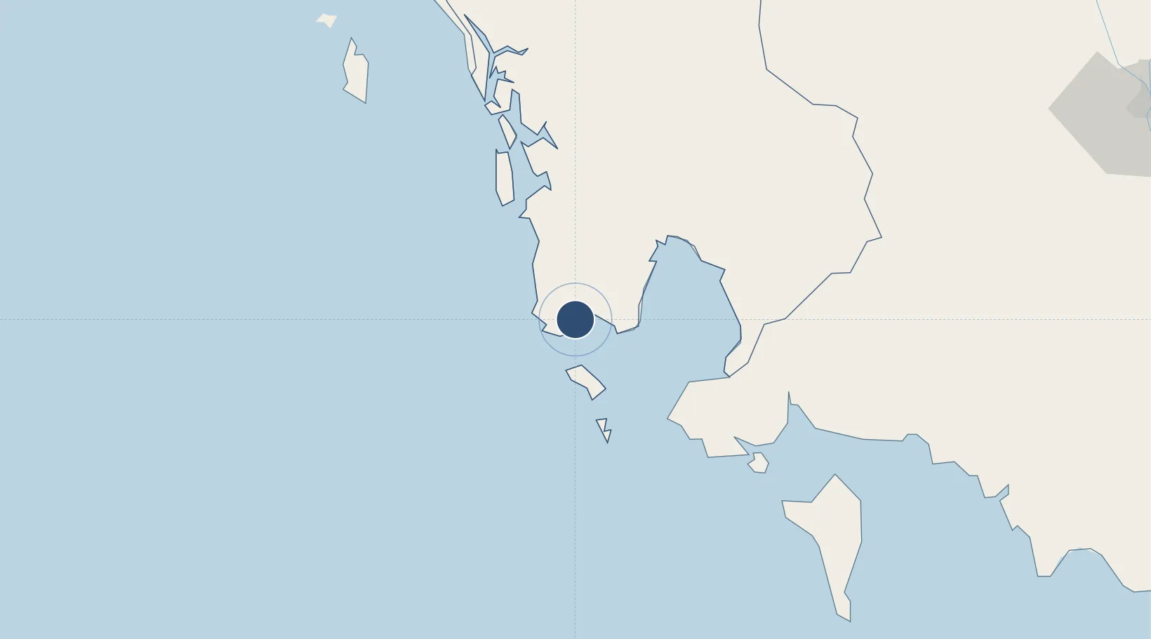
10.9142°, 103.2267°
10,498 ft
Longest runway
1
Runways
60 ft
Elevation

Runway & Layout

Dara Sakor International Airport runway & taxiway layout
Runway & taxiway layout — OpenStreetMap (ODbL) / OurAirports

Runways · 1

RunwayDimensions SurfaceTrue headingLit
03/21 10,498 × 148ft concrete
OurAirports

Airport Specifications

IATA code
DSY
OurAirports
ICAO code
VDDS
OurAirports
Airport class
Large airport
OurAirports
Scheduled service
Yes
OurAirports
Runway surface
concrete
OurAirports
Served city
Ta Noun
OurAirports

Location

Location of KH-0001
Natural Earth 10m (public domain) · Kaôh Kong · KH-0001 · 10.91, 103.23GoogleOSMYandex

Nearby Logistics Neighbours

Airports
  1. 1Sihanouk International Airport59 km
  2. 2Phú Quốc International Airport118 km
  3. 3Trat Airport181 km
  4. 4Phnom Penh International Airport190 km
  5. 5Techo International Airport191 km
Nearest neighbours — logibook spatial index (haversine) over the source coordinates
Cities
  1. 1Kâmpóng Saôm46 km
  2. 2Khlong Yai101 km
  3. 3Phu Quoc112 km
  4. 4Chanthaburi188 km
  5. 5Phnom Penh191 km
Nearest neighbours — logibook spatial index (haversine) over the source coordinates
Ports
  1. 1Kampong Saom43 km
  2. 2Duong Dong112 km
  3. 3Tantawan Marine Terminal218 km
  4. 4Benchamas Terminal220 km
  5. 5Rayong Tpi Terminal284 km
Nearest neighbours — logibook spatial index (haversine) over the source coordinates
Trade Zones
  1. 1Sihanoukville 2 Special Economic Zone28 km
  2. 2Kiri Sakor Koh Kong Special Economic Zone40 km
  3. 3Sihanoukville 1 Special Economic Zone41 km
  4. 4Sihanoukville Port42 km
  5. 5Stung Hav Special Economic Zone46 km
Nearest neighbours — logibook spatial index (haversine) over the source coordinates
DatabookThe Record of Consolidated Knowledge
Cambodia beyond logistics?
Browse databook

All Sources

AirportsOurAirports
Public domain
Portsthe NGA World Port Index
Public domain (US gov)
LocationsUN/LOCODE
UN/LOCODE — free
Trade Zonesthe World Bank SEZ database
CC BY 4.0
Trade ZonesOpen Zone Map
CC BY
InfrastructureOpenStreetMap
ODbL 1.0
← Cambodia airports