Medium airport · Thailand
Trat AirportVTBO
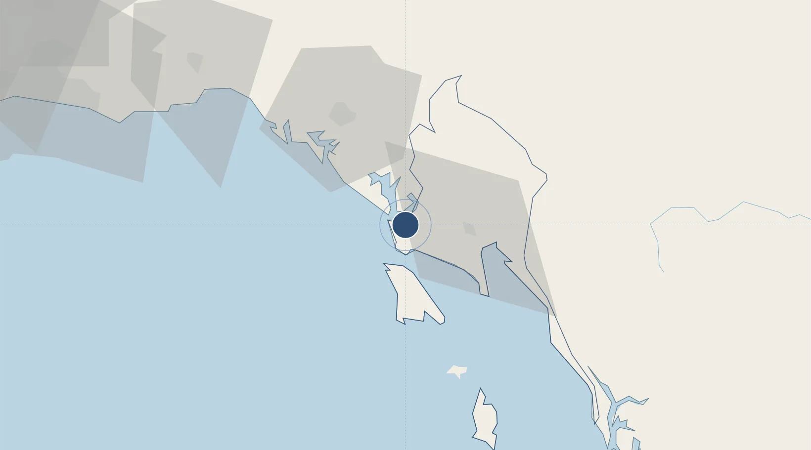
12.2746°, 102.3190°
5,899 ft
Longest runway
1
Runways
105 ft
Elevation
Runway & Layout

Radio Frequencies
TWR
122.9 MHz
APP
118.6 MHz
Navaids
TRT NDB-DME Trat 0.38 MHz
Runways · 1
| Runway | Dimensions | Surface | True heading | Lit |
|---|---|---|---|---|
| 05/23 | 5,899 × 150ft | Asphalt | 051° | ✓ |
Airport Specifications
IATA code
TDX
ICAO code
VTBO
Airport class
Medium airport
Scheduled service
Yes
Runway surface
Asphalt
Served city
Laem Ngop
Location
Nearby Logistics Neighbours
Airports
Cities
- 1Chanthaburi10 km
- 2Tha Chaleap59 km
- 3Khlong Yai85 km
- 4Map Ta Phut118 km
- 5Paôy Pêt (Poipet)155 km
Ports
- 1Rayong Tpi Terminal118 km
- 2Map Ta Phut133 km
- 3Sattahip157 km
- 4Laem Chabang180 km
- 5Si Racha Terminal182 km
Trade Zones
DatabookThe Record of Consolidated Knowledge
Thailand beyond logistics?