Transport Functions
Port
Road
Hub Profile
Place type
Provincial seat
Region
Trat
Time zone
Asia/Bangkok
Elevation
11 m
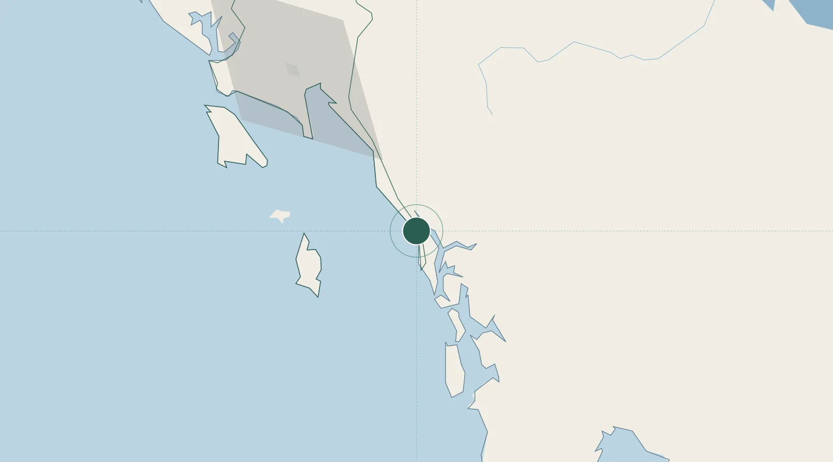
Location
Nearby Logistics Neighbours
Cities
- 1Chanthaburi94 km
- 2Pursat140 km
- 3Tha Chaleap143 km
- 4Kâmpóng Saôm144 km
- 5Map Ta Phut200 km
Ports
- 1Kampong Saom142 km
- 2Rayong Tpi Terminal199 km
- 3Duong Dong208 km
- 4Map Ta Phut213 km
- 5Benchamas Terminal227 km
Airports
- 1Trat Airport85 km
- 2Dara Sakor International Airport101 km
- 3Battambang Airport152 km
- 4Sihanouk International Airport155 km
- 5Phnom Penh International Airport213 km
DatabookThe Record of Consolidated Knowledge
Thailand beyond logistics?