Transport Functions
Port
Airport
Hub Profile
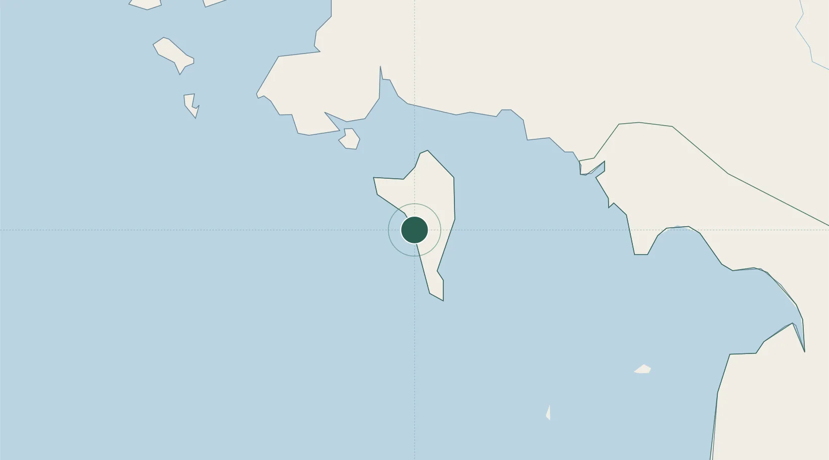
Place type
Populated place
Region
An Giang
Population
294,419
Time zone
Asia/Ho_Chi_Minh
Elevation
11 m
Location
Nearby Logistics Neighbours
Cities
- 1Kâmpóng Saôm66 km
- 2Binh Long Port146 km
- 3Vinalines Hau Giang Port174 km
- 4Phnom Penh176 km
- 5Ta Khmau177 km
Ports
- 1Kampong Saom69 km
- 2Tantawan Marine Terminal280 km
- 3Benchamas Terminal299 km
- 4Thanh Ho Chi Minh307 km
- 5Erawan Terminal313 km
Airports
DatabookThe Record of Consolidated Knowledge
Vietnam beyond logistics?