Diversified Zone · Cambodia

Neang Koh Kong Special Economic Zone Under Development
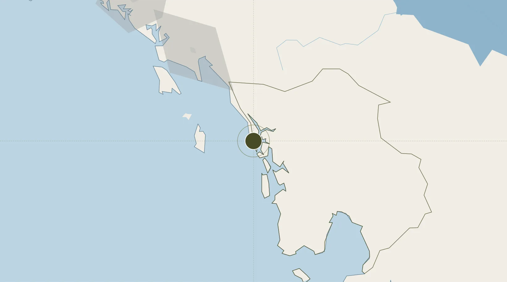
11.6441°, 102.9331°
334 ha
Zone area
128.3 km
Nearest port
87.2 km
Nearest airport

Gateway access

Nearest neighbours — logibook spatial index (haversine) over the source coordinates

Zone profile

Zone type
Diversified Zone
Open Zone Map
Region
Kaôh Kong
Open Zone Map
Status
Under Development
Open Zone Map
Management
Private
Open Zone Map
Operator
Koh Kong SEZ Co., Ltd.
Open Zone Map
Legal framework
License from CDC No3399 dated 26 November 2002
Open Zone Map

Location

Location of ozm-263
Natural Earth 10m (public domain) · Kaôh Kong · ozm-263 · 11.64, 102.93GoogleOSMYandex

Nearby Logistics Neighbours

Ports
  1. 1Kampong Saom128 km
  2. 2Duong Dong195 km
  3. 3Rayong Tpi Terminal209 km
  4. 4Benchamas Terminal222 km
  5. 5Map Ta Phut223 km
Nearest neighbours — logibook spatial index (haversine) over the source coordinates
Airports
  1. 1Dara Sakor International Airport87 km
  2. 2Trat Airport97 km
  3. 3Sihanouk International Airport142 km
  4. 4Battambang Airport165 km
  5. 5Phú Quốc International Airport201 km
Nearest neighbours — logibook spatial index (haversine) over the source coordinates
Cities
  1. 1Khlong Yai14 km
  2. 2Chanthaburi105 km
  3. 3Kâmpóng Saôm130 km
  4. 4Pursat146 km
  5. 5Tha Chaleap155 km
Nearest neighbours — logibook spatial index (haversine) over the source coordinates
Trade Zones
  1. 1Suoy Chheng Special Economic Zone3 km
  2. 2Kiri Sakor Koh Kong Special Economic Zone48 km
  3. 3Mds Thmorda Special Economic Zone62 km
  4. 4Trat Special Economic Zone81 km
  5. 5Sihanoukville 2 Special Economic Zone115 km
Nearest neighbours — logibook spatial index (haversine) over the source coordinates
DatabookThe Record of Consolidated Knowledge
Cambodia beyond logistics?
Browse databook

All Sources

Trade ZonesOpen Zone Map
CC BY
Portsthe NGA World Port Index
Public domain (US gov)
AirportsOurAirports
Public domain
LocationsUN/LOCODE
UN/LOCODE — free
← Cambodia trade zones