Seaport · Thailand
Rayong Tpi TerminalTHRYG
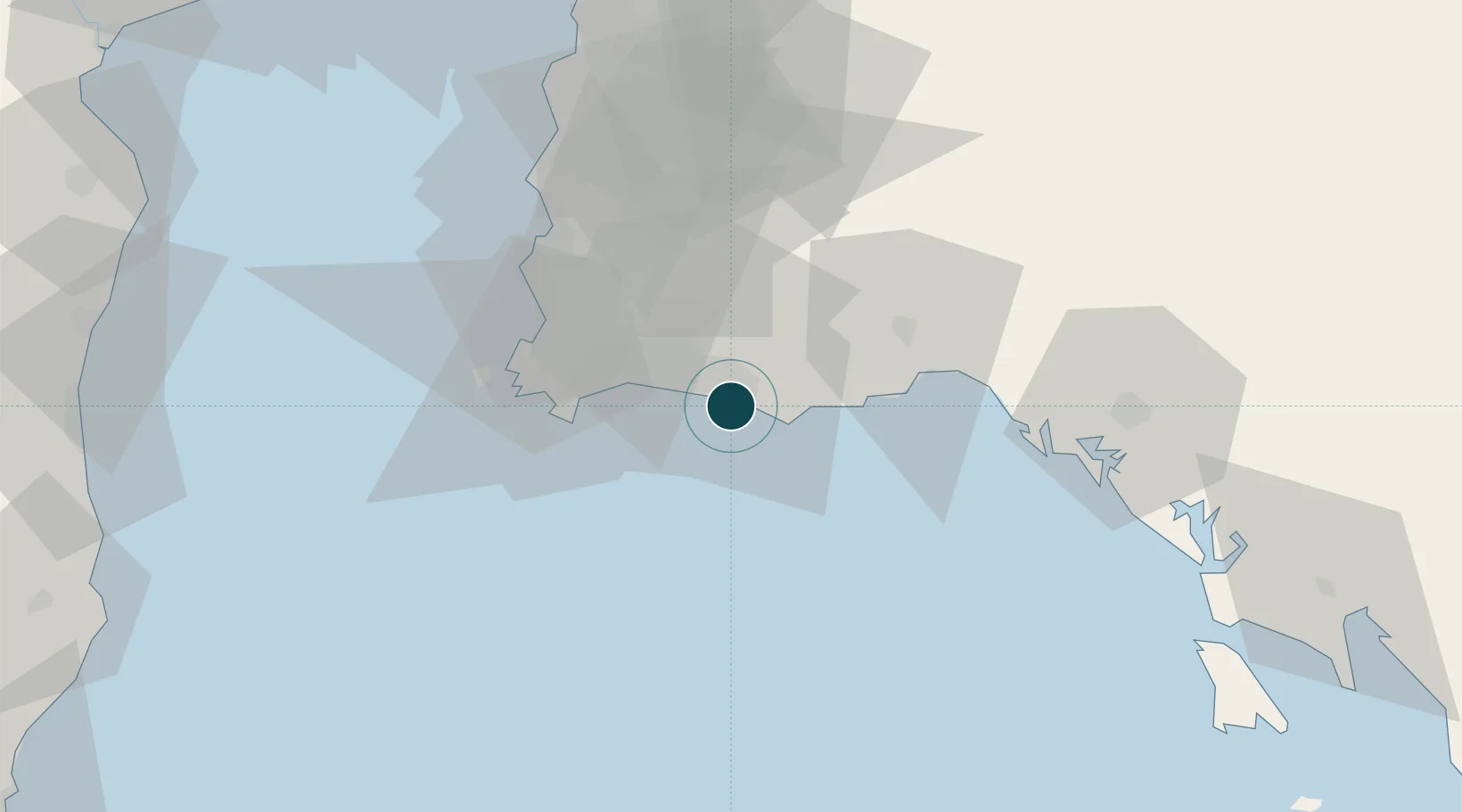
12.6333°, 101.3000°
18.6 m
Channel depth
16.3
Port liner connectivity
Channel & Berth Profile
Pilotage, Tugs & Services
Pilotage compulsoryYES
Pilotage availableYES
Tug assistanceYES
Potable waterYES
MedicalYES
Garbage disposalNO
Facilities & Capabilities
Container—
Ro-Ro—
Liquid bulk—
Dry bulk—
Oil terminal—
Break bulk—
Dry dock—
Repairs—
BunkeringYES
Rail link—
Dangerous cargo—
ISPS security—
Harbour Specifications
Harbour size
Very Small
Harbour type
Open Roadstead
Shelter
Poor
Water body
Gulf of Thailand; South China Sea; North Pacific Ocean
Overhead limit
No
Pilotage
Yes
Liner Connectivity
16.3
PLSCI
Port Liner Shipping Connectivity Index for Rayong Tpi Terminal, as published by UNCTAD for the latest available quarter. Higher values indicate stronger scheduled liner-shipping integration.
Shown relative to the highest per-port PLSCI in the dataset (1,657.9).
Location
Nearby Logistics Neighbours
Ports
- 1Map Ta Phut15 km
- 2Sattahip42 km
- 3Laem Chabang67 km
- 4Siam Seaport72 km
- 5Si Racha Terminal72 km
Cities
- 1Map Ta Phut2 km
- 2Sattahip42 km
- 3Tungprong Pt51 km
- 4Pattaya56 km
- 5Tha Chaleap64 km
Airports
- 1U-Tapao–Rayong–Pattaya International Airport32 km
- 2Trat Airport118 km
- 3Suvarnabhumi Airport131 km
- 4Hua Hin Airport146 km
- 5Don Mueang International Airport161 km
Trade Zones
DatabookThe Record of Consolidated Knowledge
Thailand beyond logistics?