Transport Functions
Multimodal
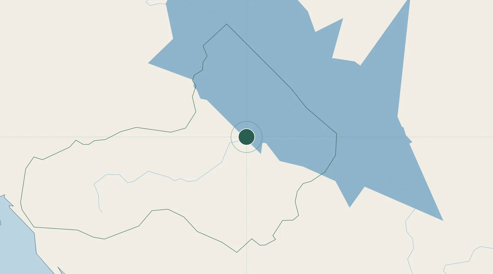
Hub Profile
Place type
Regional capital
Region
Pursat
Population
52,476
Time zone
Asia/Phnom_Penh
Elevation
25 m
Location
Nearby Logistics Neighbours
Cities
- 1Khlong Yai140 km
- 2Phnom Penh151 km
- 3Ta Khmau162 km
- 4Kâmpóng Cham177 km
- 5Chanthaburi185 km
Ports
- 1Kampong Saom216 km
- 2Duong Dong258 km
- 3Rayong Tpi Terminal284 km
- 4Map Ta Phut299 km
- 5Sattahip326 km
Airports
- 1Battambang Airport98 km
- 2Siem Reap-Angkor International Airport99 km
- 3Phnom Penh International Airport149 km
- 4Techo International Airport170 km
- 5Trat Airport176 km
Trade Zones
DatabookThe Record of Consolidated Knowledge
Cambodia beyond logistics?