UN/LOCODE hub · Cambodia
KHKOS
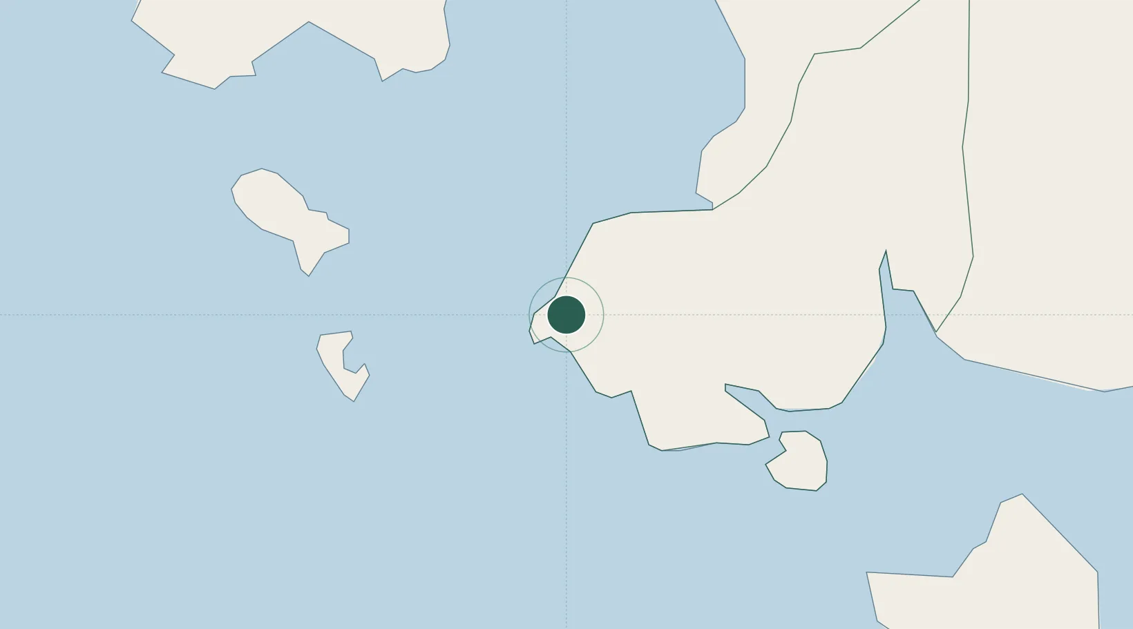
Kâmpóng Saôm
10.6337°, 103.5399°
4
Transport functions
1
Container terminals
Transport Functions
Port
Road
Airport
Fixed Transport
Hub Profile
Logistics facilities
8
Container terminals
1
Location
Nearby Logistics Neighbours
Cities
- 1Phu Quoc66 km
- 2Khlong Yai144 km
- 3Phnom Penh175 km
- 4Ta Khmau181 km
- 5Binh Long Port187 km
Ports
- 1Duong Dong66 km
- 2Tantawan Marine Terminal240 km
- 3Benchamas Terminal251 km
- 4Erawan Terminal294 km
- 5Rayong Tpi Terminal330 km
Airports
DatabookThe Record of Consolidated Knowledge
Cambodia beyond logistics?