Channel & Berth Profile
Pilotage, Tugs & Services
Pilotage compulsoryYES
Pilotage availableYES
Tug assistanceYES
Potable waterNO
MedicalYES
Garbage disposalNO
Facilities & Capabilities
Container—
Ro-Ro—
Liquid bulk—
Dry bulk—
Oil terminal—
Break bulk—
Dry dock—
RepairsNO
BunkeringNO
Rail link—
Dangerous cargo—
ISPS security—
Harbour Specifications
Harbour size
Very Small
Harbour type
Open Roadstead
Shelter
Poor
Water body
Gulf of Thailand; South China Sea; North Pacific Ocean
Tidal range
1 m
Pilotage
Yes
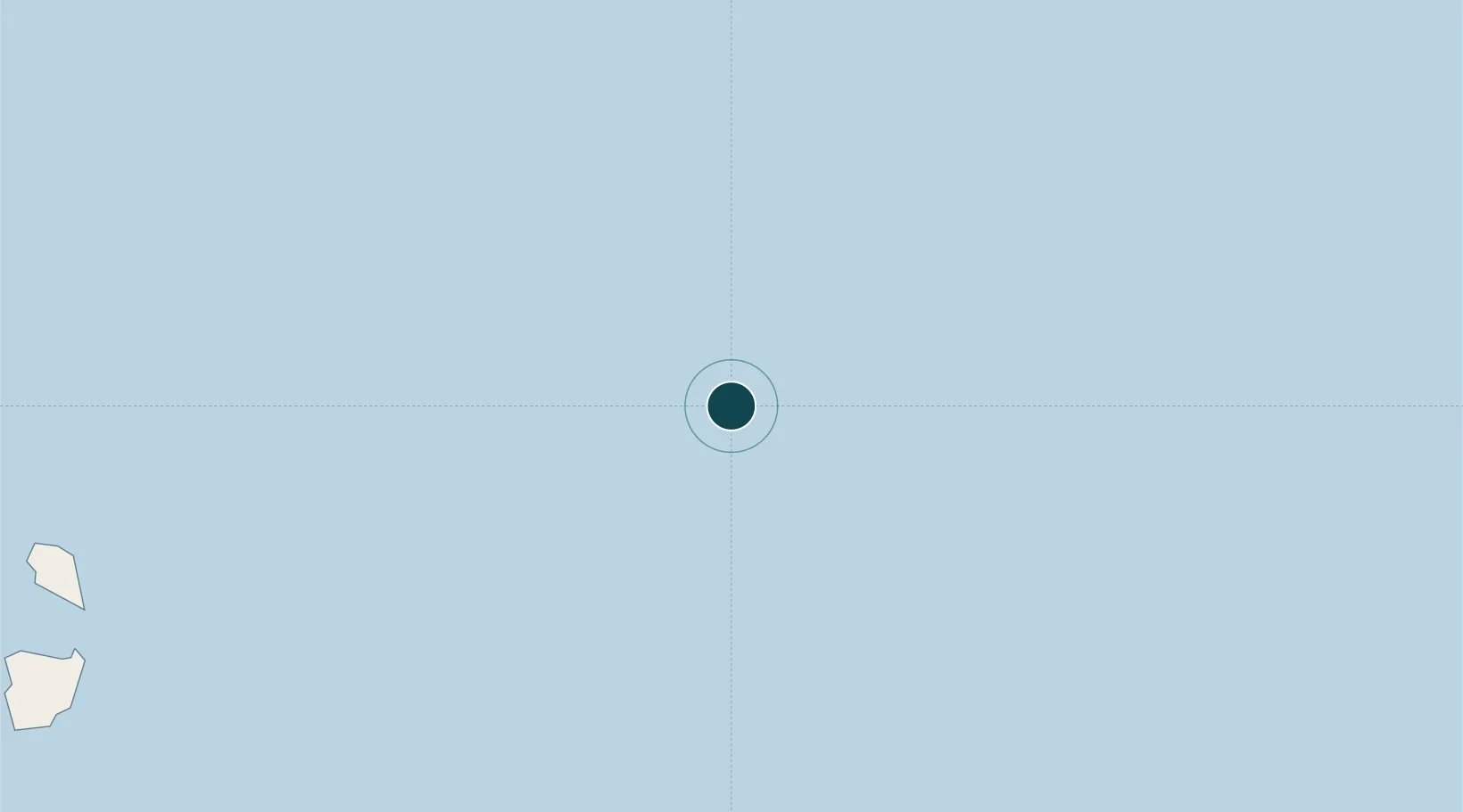
Location
Nearby Logistics Neighbours
Ports
- 1Benchamas Terminal52 km
- 2Erawan Terminal110 km
- 3Khanom193 km
- 4Bang Saphan233 km
- 5Kampong Saom236 km
Cities
- 1Platong49 km
- 2Benchamas49 km
- 3Erawan113 km
- 4Ko Samui174 km
- 5Nakhon Si Thammarat194 km
Airports
- 1Samui International Airport160 km
- 2Dara Sakor International Airport218 km
- 3Chumphon Airport235 km
- 4Nakhon Si Thammarat Airport236 km
- 5Cha Eian Airport241 km
Trade Zones
DatabookThe Record of Consolidated Knowledge
Thailand beyond logistics?