Transport Functions
Port
Hub Profile
Place type
Regional capital
Region
Chanthaburi
Population
99,819
Time zone
Asia/Bangkok
Elevation
7 m
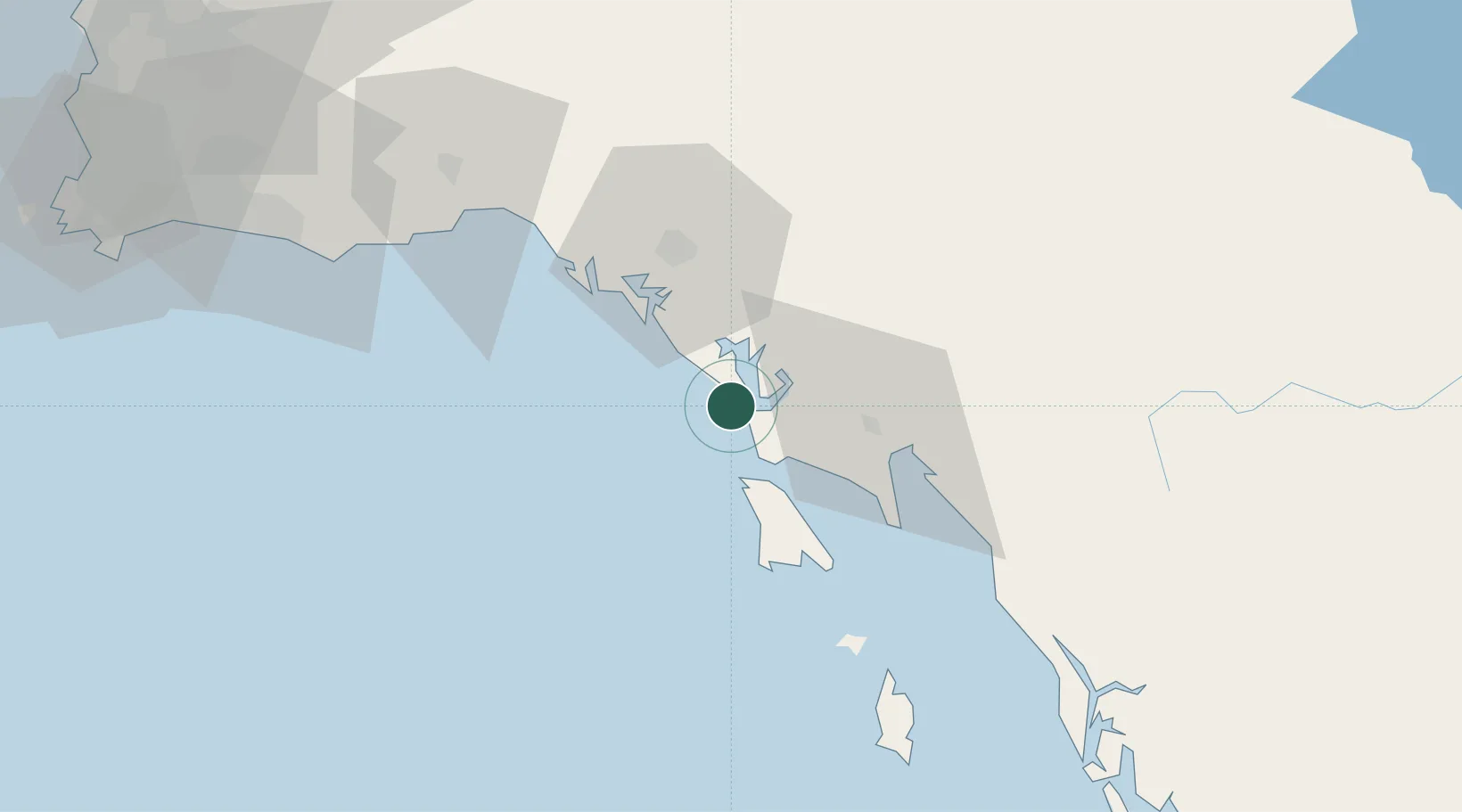
Location
Nearby Logistics Neighbours
Cities
- 1Tha Chaleap49 km
- 2Khlong Yai94 km
- 3Map Ta Phut109 km
- 4Sattahip148 km
- 5Paôy Pêt (Poipet)154 km
Ports
- 1Rayong Tpi Terminal108 km
- 2Map Ta Phut123 km
- 3Sattahip147 km
- 4Laem Chabang170 km
- 5Si Racha Terminal172 km
Airports
- 1Trat Airport10 km
- 2Battambang Airport139 km
- 3U-Tapao–Rayong–Pattaya International Airport140 km
- 4Dara Sakor International Airport188 km
- 5Suvarnabhumi Airport223 km
Trade Zones
DatabookThe Record of Consolidated Knowledge
Thailand beyond logistics?