UN/LOCODE hub · Cambodia
KHKPC
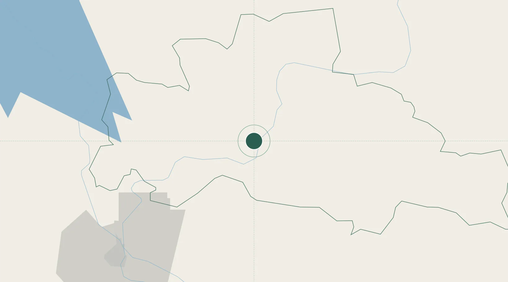
Kâmpóng Cham
12.0000°, 105.4500°
61,750
Population
1
Transport functions
Transport Functions
Multimodal
Hub Profile
Place type
Regional capital
Region
Kampong Cham
Population
61,750
Time zone
Asia/Phnom_Penh
Elevation
23 m
Location
Nearby Logistics Neighbours
Cities
- 1Ta Khmau79 km
- 2Phnom Penh83 km
- 3Tay Ninh105 km
- 4Loc Ninh126 km
- 5Binh Long Port161 km
Ports
- 1Thanh Ho Chi Minh195 km
- 2Thanh Hoa195 km
- 3Cat Lai201 km
- 4Phu My234 km
- 5Duong Dong256 km
Airports
Trade Zones
DatabookThe Record of Consolidated Knowledge
Cambodia beyond logistics?